- Suitable for baby carriages
- Culturally interesting
- Circular route
Monastery path
The approximately 2.5 km long walk takes you around and through the grounds of Grafschaft Monastery.
Tour starting point:
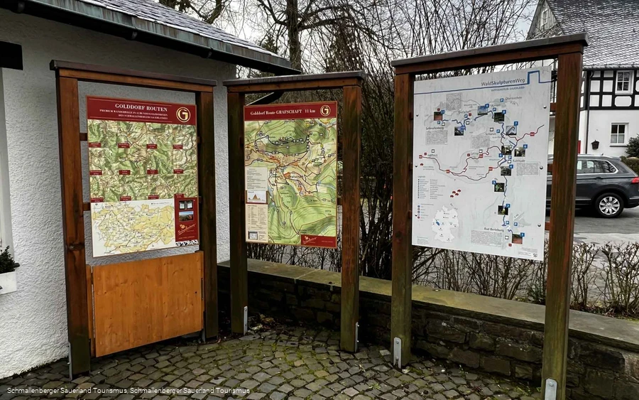
Grafschaft - Hiking board in the center of the village on the main road
Tour destination point:
Grafschaft - Hiking board in the center of the village on the main road
Properties:
Category
regionaler WanderwegLength
2.4 kmDuration
0:45 hElevation ascent
54 mElevation descent
54 mLowest point
412 mHighest point
466 mCondition
Difficulty
In total, there are 68 meters of altitude to overcome, around 100 m of the route have a gradient of more than 10%, and around 200 m are just as steep downhill. The pure walking time is a good half hour. There are many benches - some with beautiful views - along the way, which is no more than a short walk, but offers numerous insights into today's activities within the monastery walls. The path is mostly asphalted and can therefore be used with any footwear, as well as for wheelchair users.
Information
Directions
After taking a look at the hiking board, we take the footpath to the northern entrance to the monastery grounds, the medieval Agatha Gate for the Grafschaft population. This avoids a long walk along the main road and allows us to get to know the monastery grounds from the inside. After just under 100 m, we turn right and leave the monastery grounds through the large archway - the Tannenpforte - to the left, heading west. As our path is not part of the hiking trail network of the Schmallenberg Sauerland, we pay attention to the black plates that the Grafschaft-Schanze tourist office has placed in many places.Behind the archway, the asphalt road leads slightly uphill. We bypass the private property to the west. At the next two forks in the road, we take the left-hand path. The path is always moderately steep uphill. After a total distance of 1 km, our footpath joins a cross-path. With the exception of a few meters in altitude, we have now completed the ascent on the Klosterweg. The view extends far in the direction of Schmallenberg and the 658 m high Wilzenberg. The monastery complex is in the foreground.We follow the path on the left for about 70 m to the north and then turn right onto a path with a row of trees on the northern side, which only climbs very slightly. At 465 m, we reach the highest point of the monastery trail here. A narrow bend leads us into the narrow valley of the Stameske. We pay attention to the path markings and cross the Stameske. We have already reached the edge of the built-up area and follow the road "Am Stünzel" for a short distance.The Handirkweg joins from the right, which takes you to the source of the Grafschaft. A few meters below, the Klosterweg turns left and we are back on the grounds of the Grafschaft monastery. We continue along the northern edge of the convent pond, which is fed by the Stameske. This stream supplied the monastery kitchen with fresh water in the Middle Ages.Finally, we leave the monastery grounds via the same path that we already know from the outward route and return to the starting point in the center of the village after about 2.5 km. At the end of the tour, we can take a break in the small park in front of the tourist information office.
Equipment
We recommend that you bring sturdy shoes with good tread soles, as well as sufficient food and drink.
Safety guidelines
A rescue point system has been installed in the Hochsauerland district. Rescue points can be found on the information boards at the junctions and on the hiking signs.
If you would like to do the tour with a wheelchair or baby carriage, please check whether the height profile is suitable for you.
Maps
Flyer "Grafschaft Heilklimatischer Kurort" - 11 tour suggestions for hikes and walks. Available from the Grafschaft - Schanze e. V. tourist office and Schmallenberg Sauerland Tourismus.
Public transit
The S40 bus line and the Schmallenberg Sauerland hiking bus run in Grafschaft.
Timetable information: www.rlg-online.de
With the Schmallenberg Sauerland Card you can use public transport in the region free of charge.
How to get there
The village of Grafschaft is located on the K17 between the towns of Schmallenberg and Oberkirchen.

