- Culturally interesting
- Refreshment stop
- Circular route
- Signage
Tälerweg (quality tour)
Tour starting point:
Hikers' parking lot Willingen/Hoppecketal/Gebrannte Wamecke, Hoppecketalstraße, 34508 Willingen (Upland)
Tour destination point:
Hikers' parking lot Willingen/Hoppecketal/Gebrannte Wamecke, Hoppecketalstraße, 34508 Willingen (Upland)
Properties:
Additional Information
www.willingen.de/wandern
Category
regionaler WanderwegLength
12.1 kmDuration
3:21 hElevation ascent
245 mElevation descent
245 mLowest point
588 mHighest point
832 mCondition
Difficulty
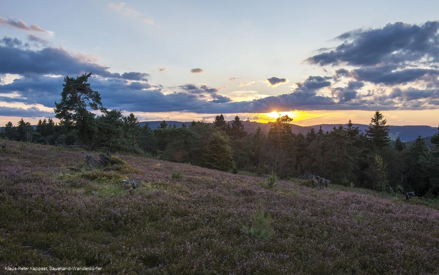
This quality tour starts in Hoppecketal in Willingen and quickly leads through the so-called "Keller" up to the Rothaarsteig and Uplandsteig. Up there, hikers can look out over the "Land of a Thousand Mountains" or the Ruhrtal and enjoy the vast landscape of the Willingen Hochheide. They return to the valley through the headwaters of the Hoppecke.
Information
Directions
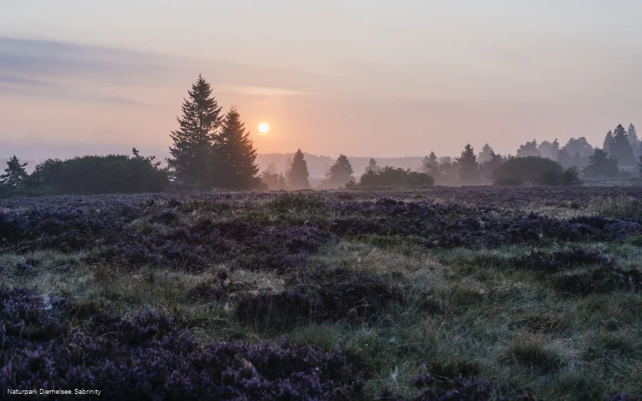
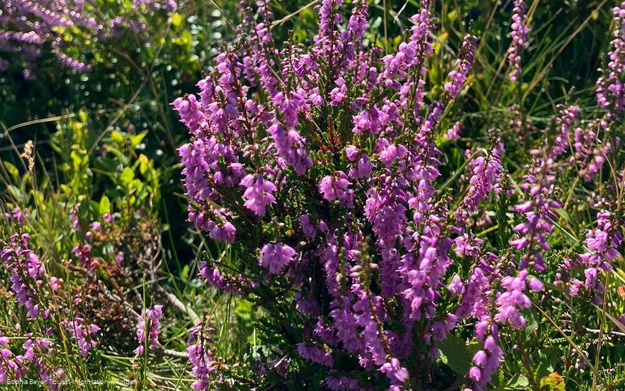
The start and finish of this hike is the hiking parking lot in the lower Hoppecke valley. This is where we start our 12-km hike to the "Neuer Hagen" nature reserve, better known as the large Hochheide. At the top, you can also stop for refreshments at the Hochhheidehütte.But now "Frisch auf" up through the Hoppecke valley, with meadows and some trees of the stream of the same name on the left. The route first climbs very slowly uphill to the "Keller", around 700 m above sea level, and then becomes somewhat more moderate. We reach the border between Hessen and North Rhine-Westphalia and unmistakably the huge Kyrill areas that were created by the storm of the same name in January 2007. After another 1.3 km, we reach the Upland and Rothaarsteig trails at the top of the ridge, both of which are award-winning quality trails.We follow these by turning left. There is also an open area on the left, the so-called "Suggeheide" (sow heath), where pigs used to feel at home in earlier centuries. Be careful today, the paths here can be muddy, so please walk around. And here the "Niedersfelder Hochheidehütte", situated at an altitude of over 800 m, soon announces itself. On the way there, try the path running parallel to the road and hiking trail, which is good for your feet.The hut is aptly named. Because from here to the "Clemensberg" (838 m), our quality trail touches the edge of the Hochheide, a "remnant" of the Ice Age, which blooms beautifully in late summer and produces delicious blueberries. Once you reach Clemensberg, you learn three things: firstly, the depths of the Niedersfeld quarry (please observe the warning signs), where the hard diabase stone is extracted. Secondly, you read about the story of the soldier and his vow. And last but not least, you can enjoy the distant view far into the Ruhrtal. Now below the rampart of the quarry, you continue to the Hoppecke spring (774 m), the starting point of the 35 km long river that flows into the Diemel at Bredelar. A short time later, at boundary stone number 8, we enter Hessian territory again and leave the Upland and Rothaarsteig at the next major crossroads. At the Scheid, there is an opportunity to take a break at the shelter and the restful seats and loungers.The trail then descends steeply to the left at this point. Halfway down, a history plaque "Steffens Hütte" enlightens us: in the past, cattle were grazed here on "Nachbars Wiese", i.e. across the border and the stream, for a long time permitted by law. Further down, we take the right fork to the so-called Hoppecketal loop. Enjoying nature at a fast pace on a relatively flat path, we reach the Ruthenaartal in a large bend. A long, long time ago, "Hamm Johann" led his busy life here, working the iron with the help of the mountain waters. On the other side of the valley there is another bend in the path, where we take a sharp left onto a path. Follow this, cross a bridge, first take the uphill path again, then turn right downhill again. Should the path end here? No, of course not. Another bridge leads over the - yes, the Hoppecke again!On the other side, meadow on the right, bushes on the left, and soon in front of us: the Hoppecke valley road. We know it from the outward journey. So first turn left again and follow it on the left-hand side, as there is no sidewalk, but more traffic. Last but not least, we can stop for a bite to eat here for the last time, a nice restaurant by the forest and lake makes it possible. Until the gravel path and parking lot meet us, and we take a beautiful round, the quality tour "Tälerweg" into our hearts and memories.
Equipment
We recommend sturdy shoes, clothing suitable for the weather, rucksack provisions and sufficient liquids (water, tea).
Safety guidelines
Observe warning notices (3 x = alarm) when blasting in the Niedersfeld quarry, adjacent to the Hochheide (Neuer Hagen nature reserve).
Author Tip
Cross-country skiing on the Hochheide in winter.
Maps
Hiking map Willingen/Diemelsee & Trekking Park Sauerland, scale 1:25,000, mr-kartographie, Gotha, ISBN 978-3-86636-923-8
Public transit
Bus/train to Willingen station, continue by bus or shared cab (AST), stop Hoppecketalstraße
How to get there
By car via the B251 to Willingen (Upland), enter/exit the town in the direction of Brilon, turn onto the road "Zur Hoppecke", then turn left into Hoppecketalstraße, from the asphalt road via a gravel path 150 m to the car parking lot.
Parking
Free parking at the starting point.
