- Circular route
Winter hiking trail Oberkirchen
Tour starting point:
Oberkirchen
Tour destination point:
Oberkirchen
Properties:
Category
Winter hikingLength
6.8 kmDuration
2:00 hElevation ascent
186 mElevation descent
191 mLowest point
420 mHighest point
581 mCondition
Difficulty
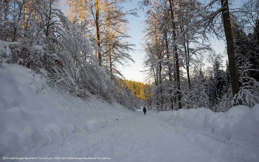
This winter hike leads from Oberkirchen towards Winkhausen, on to Almert, Hexenplatz and back to Oberkirchen.
Information
Directions
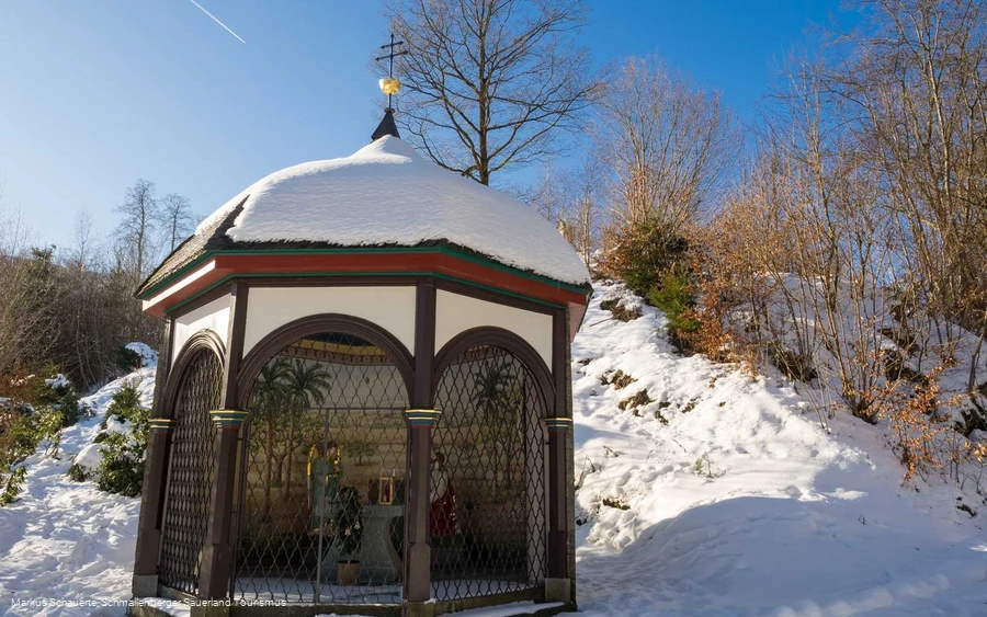
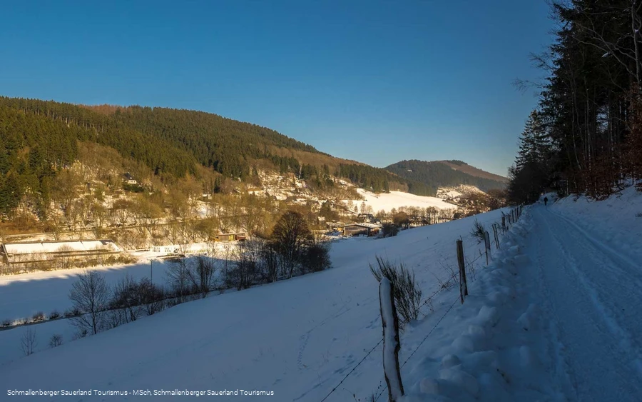
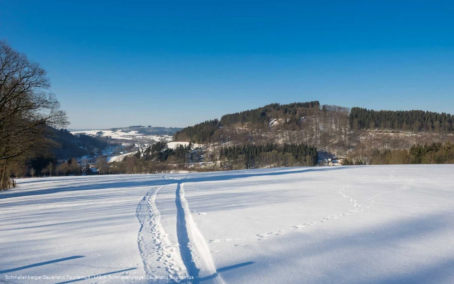
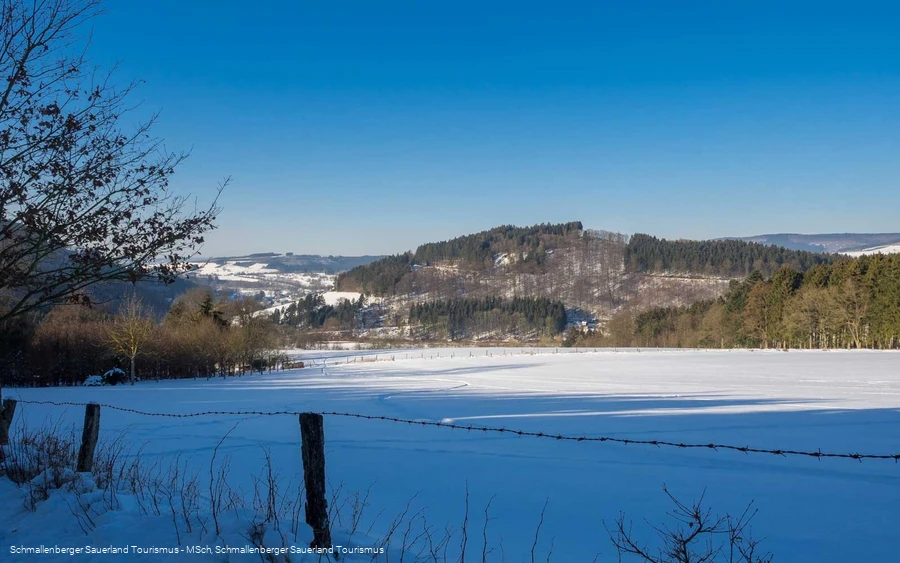
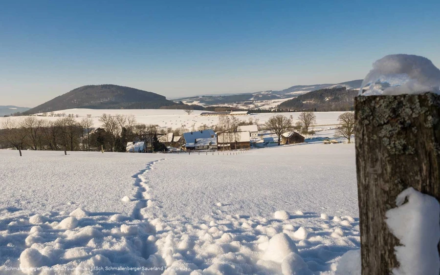
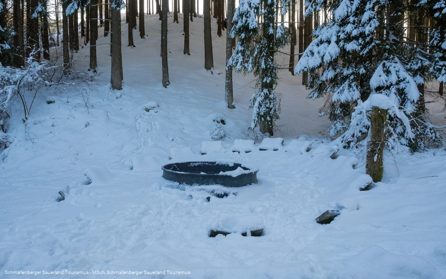
The circular tour starts at the Schützenhalle in Oberkirchen, where there are plenty of parking spaces available.Wenden towards the main road and turn left onto it. Follow the road until the junction to Grafschaft X10. Behind the Lenne bridge, the O4 leads along the Lenne via a footpath. (If this is not passable due to heavy snow, follow the district road towards Grafschaft (Galgenstraße) until the first junction).We turn right into the road "In der Riemeske" and shortly afterwards come across our O4 markings again. We continue slightly uphill, past a small chapel and reach the hiking sign "Am Hamm". Marker A7 joins us here. We follow the O4 markings, the path now becomes flat until we reach the entrance to Winkhausen after 2 km. We turn sharp left and climb uphill following the A7 markings for one kilometer to "Almert". We cross the Oberkirchen-Grafschaft district road, reach the "Almert" hiking parking lot and follow the A6 markings, now ascending again. Once we reach the hill, we enjoy the wonderful view over the Almert, the Wilzenberg and far into the sloping Lenne valley. At the next larger crossroads, the "Almerter Plätzen", we can use the signpost there for orientation. We turn half-left (2nd path on the left)", following the signs A6 and X2, initially level, but then steeply downhill to the "Hexenplatz". From here, the path leads us left with the markings X2 and O1, accompanied by the "Hartmecke" stream, into the "Lüttmecke". At the end of the path, keep left and follow the "Oberkirchen - Lüttmecke" connecting road, past the "Hermannsteich" pond and back to Oberkirchen. Behind the school, we turn right at the crossroads. The next path on the left leads us back to the starting point
Equipment
Safety guidelines
Author Tip
Maps
Public transit
The S40 bus line runs in Oberkirchen. Use the "Kirche" stop to get to the starting point of the tour.
To the timetable information: www.rlg-online.de
With the Schmallenberg Sauerland Card you can travel free of charge by bus and train in the region
Parking
Parking is available at the Schützenhalle hiking parking lot and at the miniature golf course.
If you start your tour on the Almert, you can use the hiking parking lot there.
