- Circular route
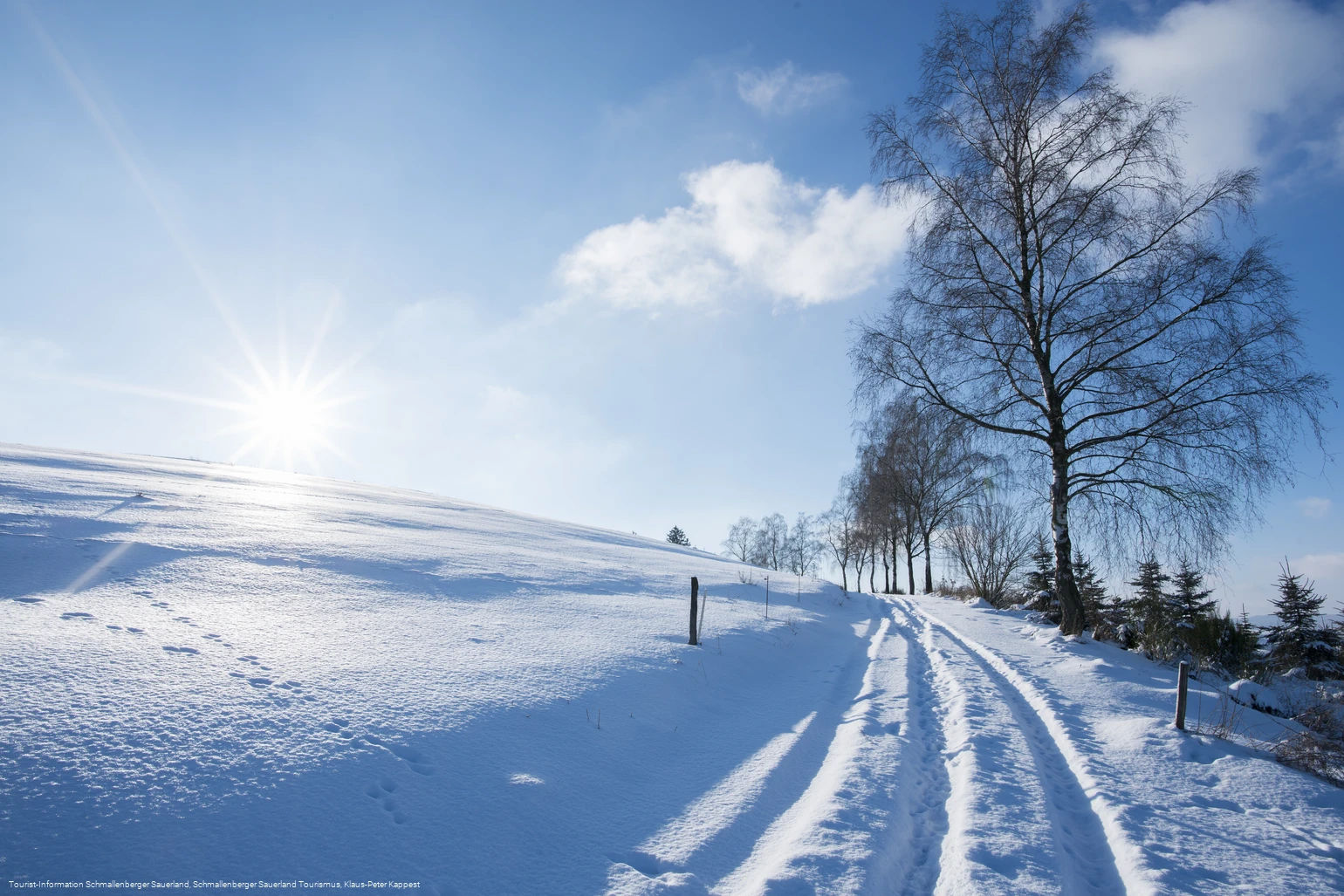
Winter hiking trail around the Robbecke from Fredeburg
Winter hiking circular trail starting from Bad Fredeburg.
Tour starting point:
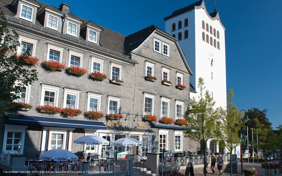
Bad Fredeburg Hiking board on the church square
Tour destination point:
Bad Fredeburg Hiking board on the church square
Properties:
Additional Information
You can find places to stop for refreshments in Bad Fredeburg at: http: //www.bad-fredeburg.de/
Category
Winter hikingLength
6.9 kmDuration
2:00 hElevation ascent
105 mElevation descent
125 mLowest point
422 mHighest point
525 mCondition
Difficulty
From Gleidorfer Kreuz, the trail offers beautiful views of Bad Fredeburg and the surrounding area.
Information
Directions
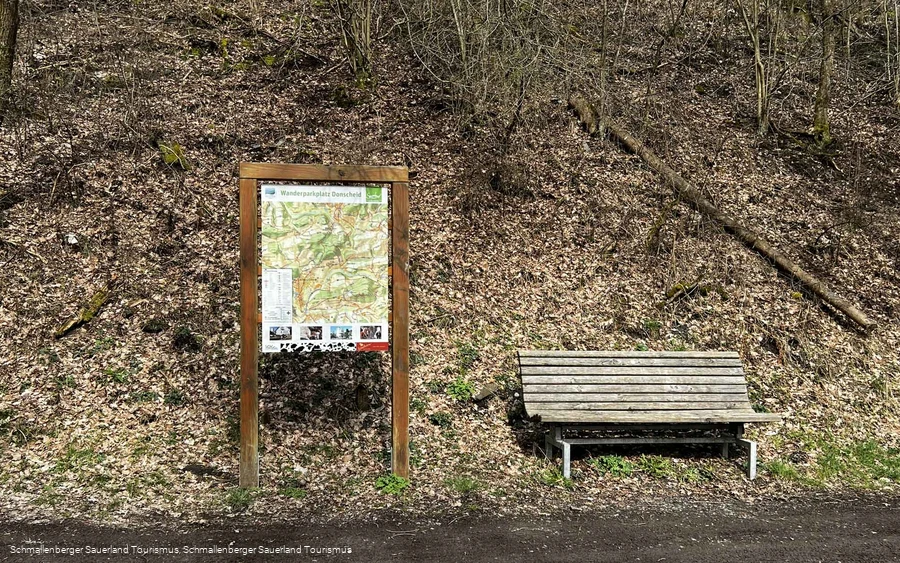
Kirchplatz hiking sign - first take the X23 downhill towards Robbecke until you reach the Donscheid parking lot - then follow the A1 uphill towards Kolping Kreuz - Ohlsker Hütte - Mondhandweiser - Gleidorfer Kreuz (up to this point 3 km). Leave the A1 at the Gleidorfer Kreuz and continue straight on for a good 1 km, past the "Eickhagen" hiking sign.At the next hiking sign, which indicates another 400 m to Bad Fredeburg (473 m above sea level), turn left. After about 1.5 km, this flat path leads back to the A1 circular route, keep right and return to the Donscheid parking lot. The X23 leads back to the church square.Alternatively, the hike can also be started at the Donscheid hiking parking lot.
Equipment
We recommend that you bring sturdy shoes and enough food and drink.
Safety guidelines
A rescue point system has been installed in the Hochsauerland district. Rescue points can be found on the information boards at junctions and on hiking signs.
Author Tip
Discover the beautiful half-timbered houses in Bad Fredeburg.
Maps
Hiking map Schmallenberg, scale: 1 : 25,000
Hiking map Bad Fredeburg, scale: 1 : 20,000
Public transit
The S90, R69 and 474 bus lines run in Bad Fredeburg.
Timetable information: www.rlg-online.de
With the Schmallenberg Sauerland Card you can use public transport in the region free of charge.
How to get there
You can reach Bad Fredeburg via the B55 or the L776.
Parking
A limited number of parking spaces are located around the church or above the tourist information office.
