Elleringhausen E - Elleringhausen Panorama Circular Trail

Sauerland-Wanderdorfs / Neusta Touren / Elleringhausen E - Elleringhausen Panorama Circular Trail
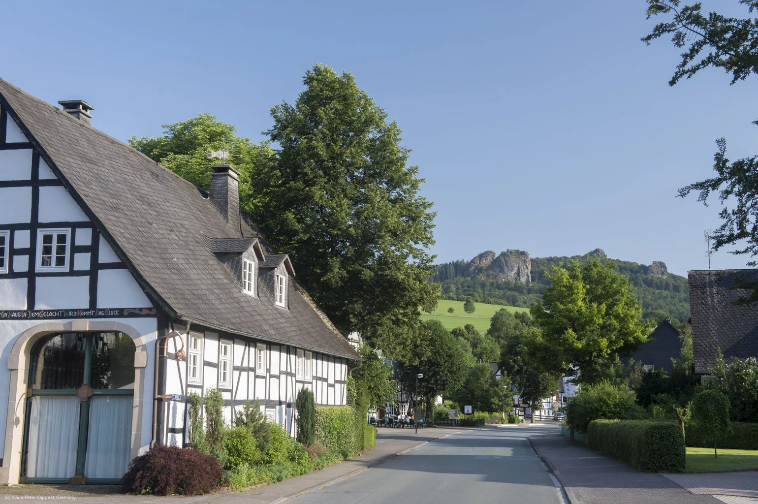
A beautiful panoramic circular tour in the golden village of Elleringhausen.
KPK568266.jpg
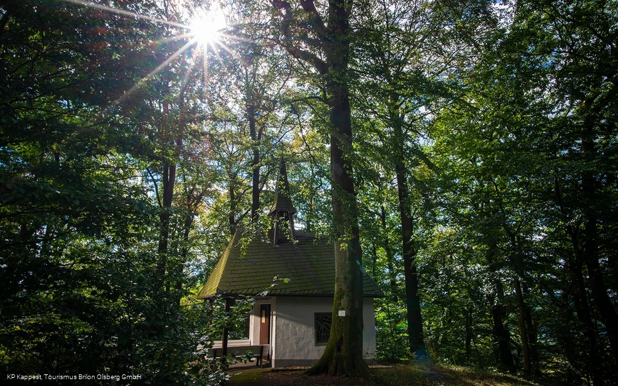
Friedenskapelle Elleringhausen
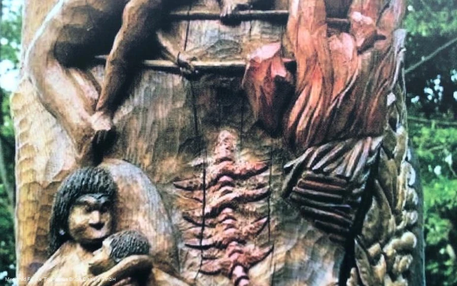
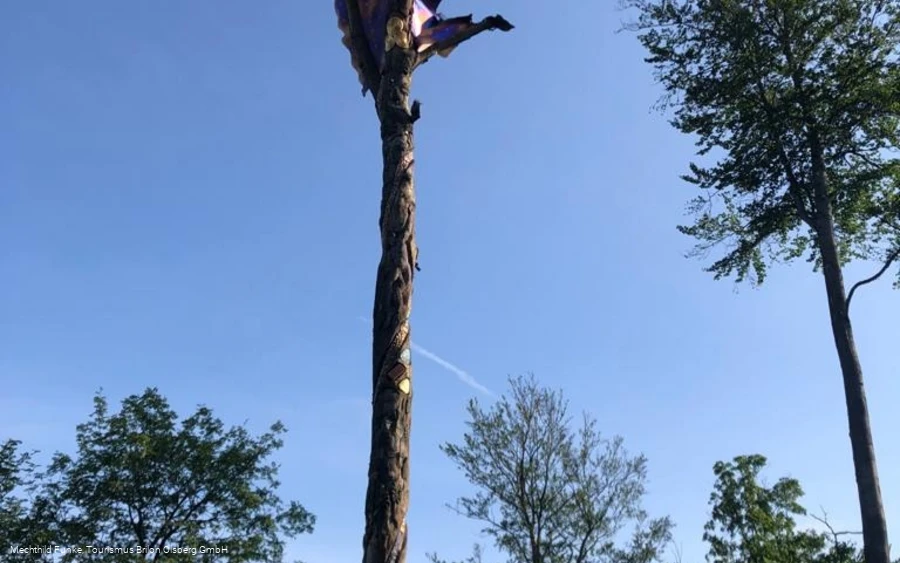
Feuereiche
Feuereiche
Screenshot 2024-11-19 123400.png

Tour starting point:

Old church square Elleringhausen hiking board

Tour destination point:

Walking board Alter Kirchplatz Elleringhausen

Properties:

  • Culturally interesting
  • Refreshment stop
  • Circular route

Additional Information

www.tourismus-brilon-olsberg.de

Category

regionaler Wanderweg

Length

10.9 km

Duration

4:30 h

Elevation ascent

237 m

Elevation descent

256 m

Lowest point

383 m

Highest point

521 m

Condition

Difficulty

Recommended seasons

J F M A M J J A S O N D

Beautiful views of the golden village of Elleringhausen can be enjoyed on this hiking trail.

0 km 2 km 4 km 6 km 8 km 10 km 400 m 450 m 500 m 550 m 600 m 392 547

Information

Directions

This tour starts at the old church palace in Elleringhausen. The tour is well marked and leads up the village street. At the old Konsum, turn right up the hill in several loops. Then follow the Way of the Cross to the Friedenskapelle Elleringhausen. This is one of the Sauerland-Seelenorte places of peace. Now continue in the direction of Bruchhausen. Take a paved path back to the entrance to Elleringhausen. Continue past the cemetery opposite, above the housing estate.With beautiful views of Olsberg to above the barbecue hut, continue into a dense mixed forest. A few loops take you past the Suberg gallery and back into the village. Cross the road and return to the starting point in the direction of the church.
Equipment

Sturdy shoes are recommended as the Way of the Cross includes very steep sections.

Safety guidelines

There are no special safety instructions for this hike.

Author Tip

The Friedenskapelle Elleringhausen is a special place of the soul. Linger there and enjoy the special atmosphere.

Literature

Hiking map Brilon Olsberg, Sauerland-Seelenorte magazine.

Maps

Brilon Olsberg hiking map. Available from Tourismus Brilon Olsberg GmbH

Public transit

Bus: R 31 from Olsberg in the direction of Bruchhausen. Bus stop Elleringhausen Dorfmitte

How to get there

From Olsberg, follow the signs to the Bruchhauser Steine. You pass through Elleringhausen.

Parking

The local church is located approx. 150 m before the hiking parking lot. You can park there free of charge.

Interesting places in the neighbourhood

Bitte beachten Sie, dass nach der Aktivierung Daten an den jeweiligen Anbieter übermittelt werden.