- Refreshment stop
- Circular route
Oberkirchen Gold Village Route
Panoramic, natural tour with refreshment stops around the golden village of Oberkirchen in the Schmallenberg Sauerland.
Tour starting point:
Schmallenberg - Oberkirchen Hikers' parking lot, Alte Poststraße on the B 236
Tour destination point:
Schmallenberg - Oberkirchen hiking parking lot
Properties:
Additional Information
Gastronomy along the Golddorf Route-Oberkirchen:
- Landhotel Gasthof Schütte Eggeweg 2 Tel.: 0 29 75 / 82 0
- Hotel Gut Vorwald Tel.: 0 29 75 / 96 61 0
Further restaurants, accommodation and activities in the Schmallenberg Sauerland can be found here.
Category
regionaler WanderwegLength
15.6 kmDuration
3:30 hElevation ascent
384 mElevation descent
384 mLowest point
430 mHighest point
689 mCondition
Difficulty
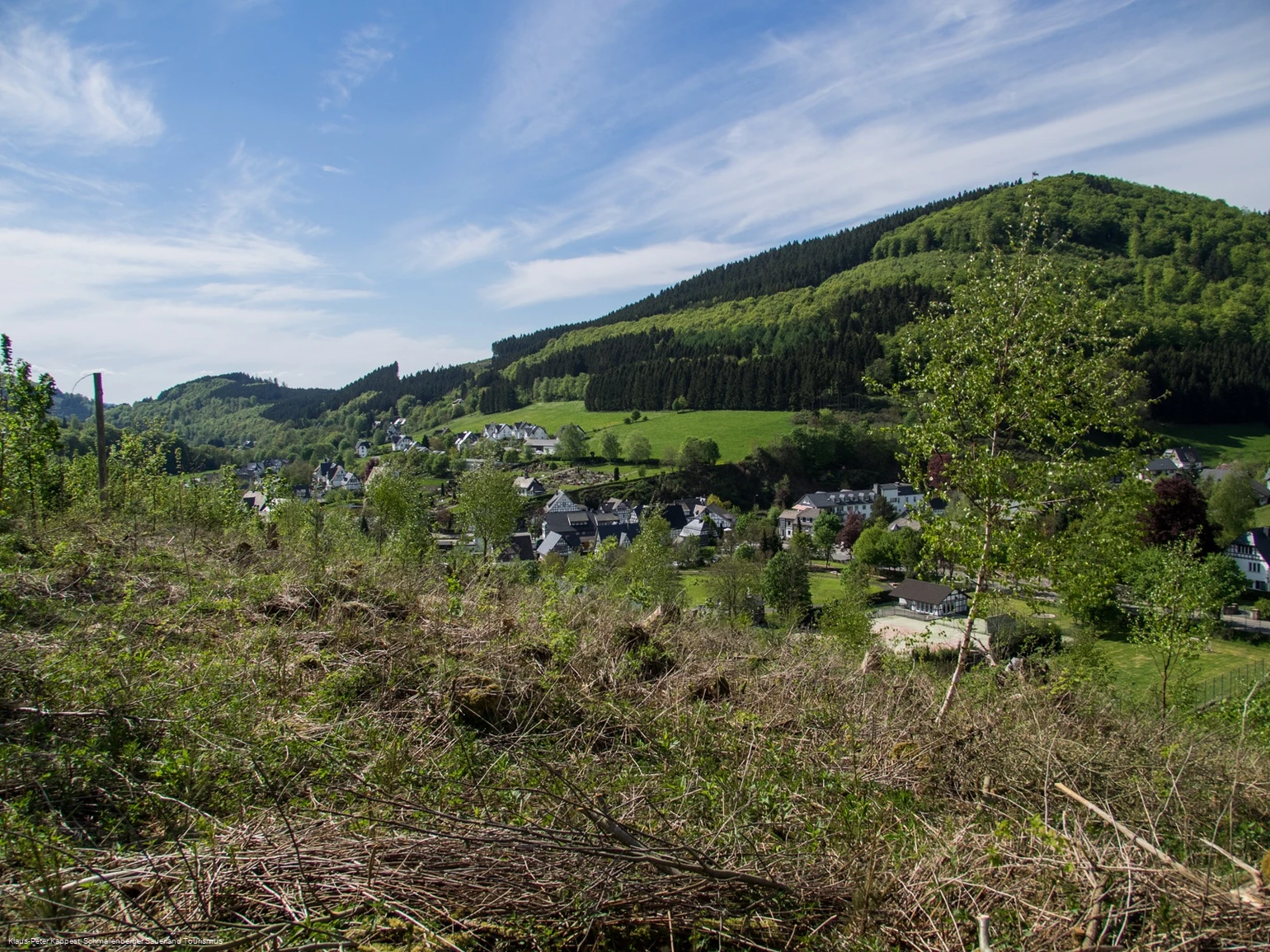
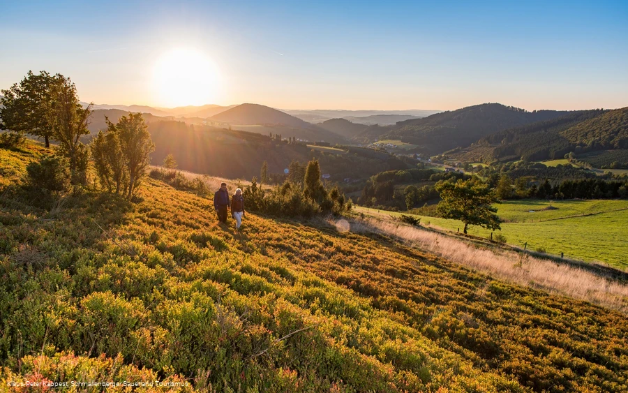
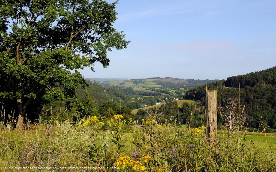
The starting point of the hike is in the center of Oberkirchen at the Landhotel Gasthof Schütte. The hike leads from Oberkirchen up along a nature trail through the "Sommerseite" nature reserve with its stunning views to Döpp's field barn. The trail continues up to the Ennest, from where you can enjoy a wonderful panoramic view and a magnificent view of the Lenne valley. The trail then descends towards Gut Vorwald, where you can stop for a bite to eat. The route now takes you slowly back to Oberkirchen via a nature trail at Hirscheck. Here, too, there are various opportunities to stop for refreshments.
Information
Directions
The hiking trail is well signposted. Always follow the hiking sign "Golden G in a circle on a red background".
Equipment
Sturdy shoes and sufficient drinks are recommended.
Hiking map Schmallenberg Sauerland 1 : 25,000 or flyer Golddorf routes in the Schmallenberg Sauerland.
Safety guidelines
A rescue point system has been installed in the Hochsauerland district. Rescue points can be found on the information boards at junctions and on hiking signs.
Author Tip
We recommend walking in the direction described (Sommerseite, Ennest, Gut Vorwald), as the views get better and better as the terrain rises.
Maps
Public transit
Oberkirchen can be reached by bus line S 40. The bus stop "Kirche" is located directly at the starting point of the Golddorf Route.
To the timetable information: www.rlg-online.de
With the Schmallenberg Sauerland Card you can travel free of charge by bus and train in the region.
How to get there
The hiking parking lot is located directly on the B236 in the center of the village.
Parking
At the starting point of the route, in the center of Oberkirchen, there is limited parking available at the hiking parking lot. Further parking spaces can be found in the area of the Schützenhalle in Schützenstraße.
