- Culturally interesting
- Refreshment stop
- Circular route
- Signage
Quality tour: Krenkeltal and Goldener Zapfen - ridge walk between the Rhine and Weser rivers
Tour starting point:
Hikers' parking lot "Stauweiher Heinsberg"; Kirchhundem-Heinsberg
Tour destination point:
Hikers' parking lot "Stauweiher Heinsberg"; Kirchhundem-Heinsberg
Properties:
Additional Information
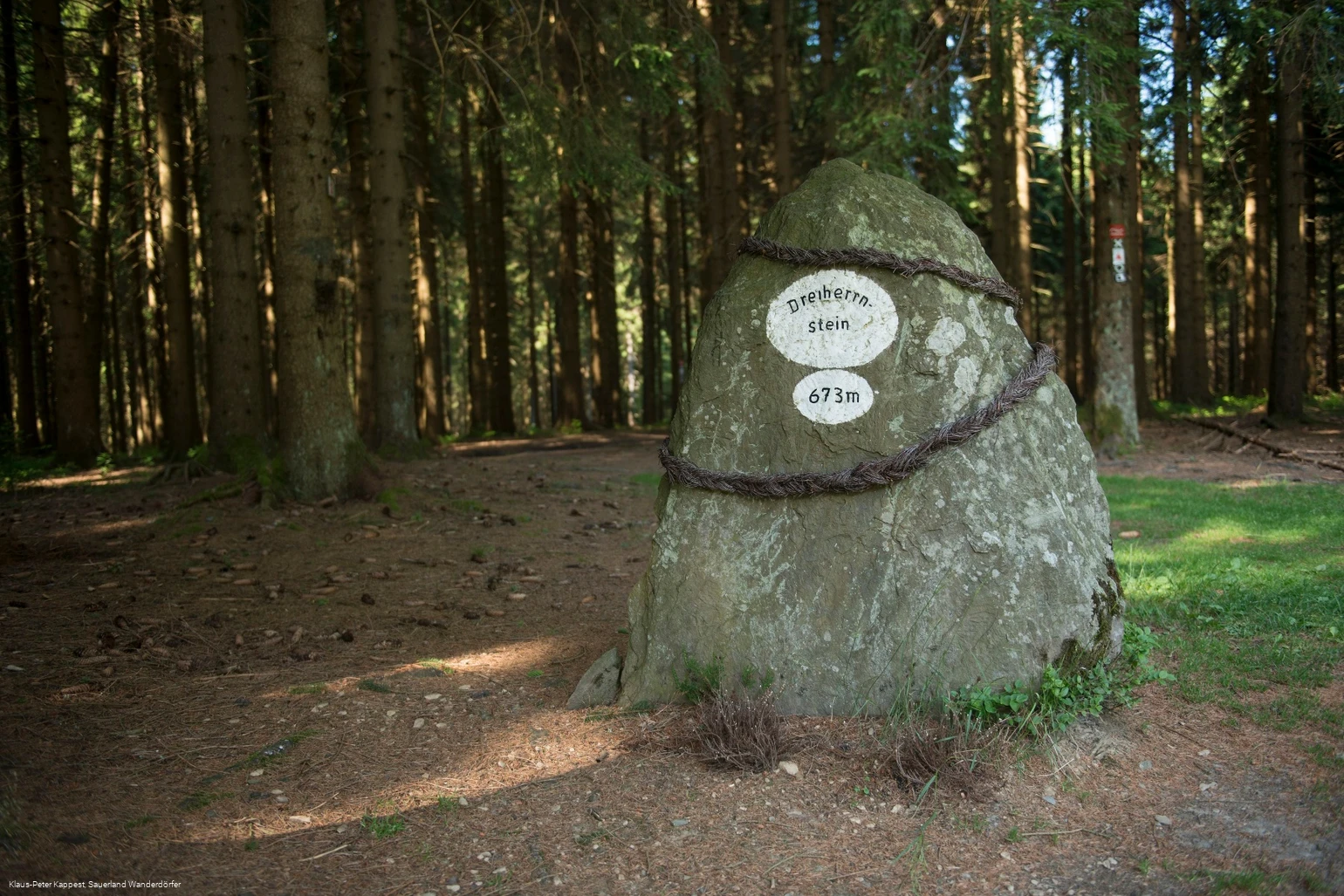
Rhine-Weser watershedIn the municipality of Kirchhundem, the Rhine-Weser watershed runs not only over the "Rhein-Weser-Turm" (observation tower, open to the public) but also over the Dreiherrnstein (673 m) and the Riemen (678 m; approx. 500 m southwest of the Dreiherrnstein) in the neighboring Siegerland. While the water of the Krenkelsbach or Heinsberg stream, which rises on the northern flank of the Riemen, flows into the Rhine through the Hundem, Lenne and Ruhr, the water of the Zinse flows through the Röspe into the Eder and that of the Elberndorfer Bach directly into the Eder and then through the Fulda to the Weser.
Category
regionaler WanderwegLength
11.3 kmDuration
3:30 hElevation ascent
284 mElevation descent
284 mLowest point
455 mHighest point
686 mCondition
Difficulty
History meets excitement at the striking "Dreiherrnstein": a free podcast tells the moving story of the border disputes between Cologne's archbishop, the Count of Nassau-Siegen and the Prince of Wittgenstein. The audio track not only offers acoustic enjoyment, but also brings the region and its turbulent past closer in a tangible way.
Information
Directions
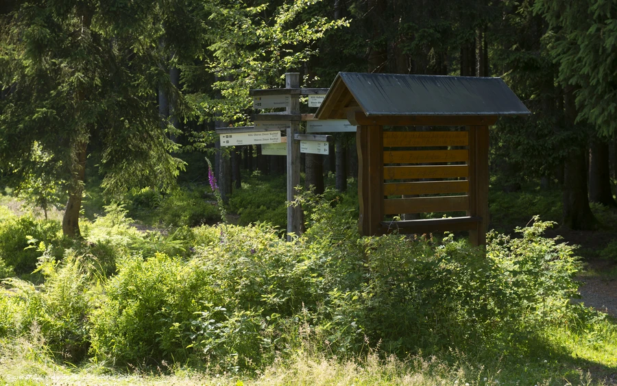
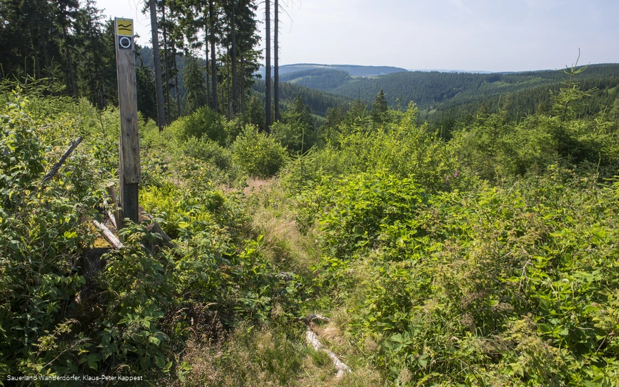
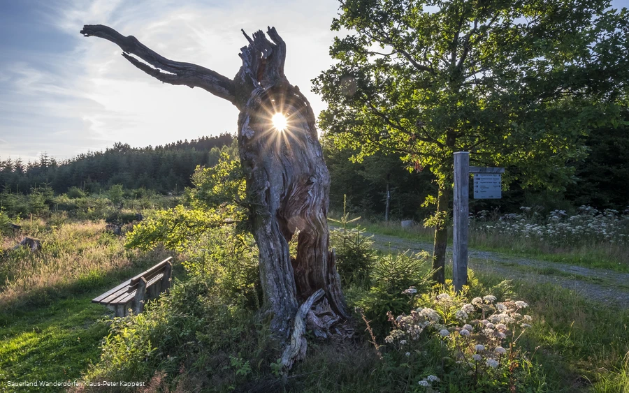
The circular route starts at the "Stauweiher Heinsberg" parking lot south of Heinsberg. (From the center of Heinsberg, we can easily reach the starting point via hiking trail A3 in the direction of "Aquädukt" or the "Stauweiher Heinsberg" hiking parking lot).Just under 100 m along the road towards Heinsberg, the circular trail marked with a white circle on a black background leads sharply to the right past fish ponds into the beautiful Krenkeltal valley. After 2 km, it is worth taking the steep detour to the right to the aqueduct, a stream crossing over an old railroad line. You return to the main path, which turns sharp left after a few hundred meters and leads up to the Rothaar ridge as a steep climb that requires good fitness. At the top, turn left onto the Rothaarsteig. Continue to the Dreiherrenstein with a rest area and hut, then through Buchenwald to the Elberndorfer Bach stream and from there to the Oberndorfer Höhe hiking parking lot. Here, the "Rothaarhütte" offers a cozy place to stop for a bite to eat (open at weekends and on public holidays; please call tel.0151 15259746) Other highlights include the view from the "Goldener Zapfen". From the "Grüner Platz", turn right downhill back towards Heinsberg and the "Stauweiher Heinsberg" parking lot.
Equipment
Safety guidelines
Most hiking trails run away from towns and settlements and every hiker has thought about what would happen if an emergency were to occur. How can I be found here? Where am I anyway? Can the emergency services reach me?
But in an emergency, things have to happen quickly! That's why the hiking trail network in the Lennestadt & Kirchhundem region is equipped with so-called rescue signs throughout. The green and white stickers attached to the posts of the signposts have a number that you must give when making an emergency call. This means that the emergency services know exactly where you are and valuable time can be saved.
Author Tip
Maps
Tourist-Information Lennestadt & Kirchhundem
Hundemstr. 18, 57368 Lennestadt
www.lennestadt-kirchhundem.de


