- Refreshment stop
Sauerland-Höhenflug: From Küstelberg to Düdinghausen
There are wonderful views and nature experiences on this 16-kilometer stage from Küstelberg to Düdinghausen.
Tour starting point:
Küstelberg, at the hiking portal in the center of the village
Tour destination point:
Düdinghausen, church
Properties:
Additional Information
Service and booking hotline of the Sauerland-Höhenflug: 02974 - 202 199
Category
regionaler WanderwegLength
15.8 kmDuration
4:45 hElevation ascent
346 mElevation descent
510 mLowest point
481 mHighest point
795 mCondition
Difficulty
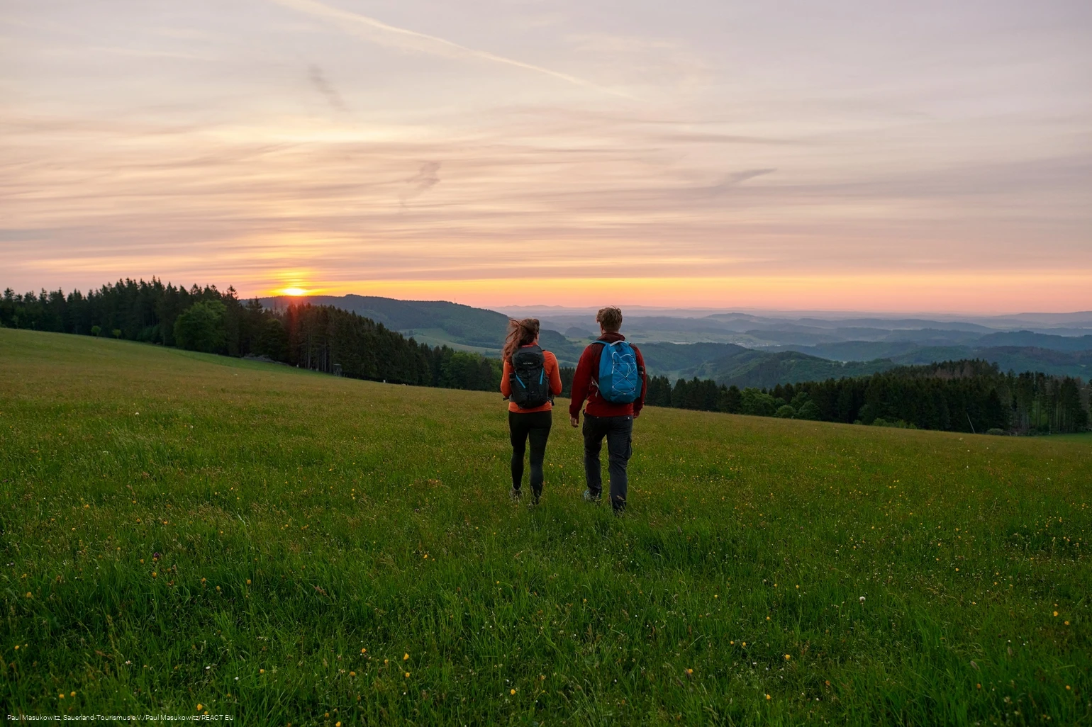
The route starts in the idyllic high-altitude village of Küstelberg on the Heidenstraße. The trail leads through a wild and romantic nature reserve surrounded by 800-metre-high mountains over the Krutenberg above Titmaringhausen with one of the most beautiful half-timbered houses in Hochsauerland. From there along the border to the Hessian Upland, past the Diemel spring, over the Hochheide of the Kahle Pön with breathtaking panoramas and back down into the valley to Düdinghausen.
Information
Directions
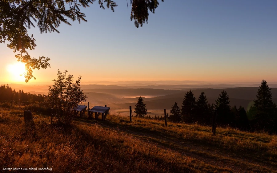
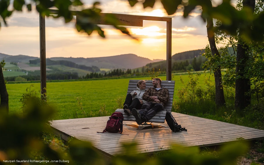
The route starts in the high-altitude village of Küstelberg on the village square. In addition to the bus stop, there is also an impressive 500-year-old lime tree here, which is a kind of landmark of the village. Küstelberg is the highest part of the town of Medebach and was first mentioned in 1177.The Sauerland-Höhenflug initially shares the path with the Rothaarsteig, past Jespers Bergelchen and the aviation memorial to the Hillekopfhütte. Surrounded by 800-metre-high mountains, the views are always impressive. The two long-distance hiking trails separate at the Hillekopfhütte and the Sauerland-Höhenflug leads past the Toter Mann memorial stone into the wild and romantic nature reserve of the Itter river. After 300 m, the Sauerland-Höhenflug turns left and leads up to the Sauerland-Seelenorte Krutenberg, where a fantastic panoramic view awaits you.The historical border between Waldeck and Kurköln runs along the Krutenberg. Today, the boundary stones mark the border between North Rhine-Westphalia and Hessen. At the crossroads above Titmaringhausen, a plaque commemorates a border conflict in the 16th century in which a forester from Waldeck lost his life. At the crossroads, the Höhenflug turns left and leads up the mountain "Auf'm Knoll" together with the Medebacher Bergweg. On the way, a rest area with a refuge and a wonderful view over Titmaringhausen invites you to take a well-deserved break. Passing through spruce forests, after 1.5 km the Sauerland-Höhenflug reaches the Diemel spring, which rises 650 m above sea level at the interface between the Hessian Upland and the Sauerland and invites you to take a refreshing dip in the Kneipp water. The Sauerland-Höhenflug now climbs steeply and reaches the summit of the Kahle-Pön after a good 800 m. The plateau is home to one of the few remaining Hochheide in the region. Mountain meadows, heathland and sparse Buchenwald forests alternate here. Especially in autumn, hikers can expect a sea of color from the blooming heather. These habitats have become rare today, which is why the Usseler Heid is a nature reserve. Am Kahle-Pön is also home to the Graf Stolberg Hütte, which invites you to take a well-earned rest with its rustic atmosphere and fantastic views.The high-altitude route leads through meadows and Heid along the ski lift to the Usseler Kreuz, turns right here and leads up a narrow path to the refuge. From here, you have a fantastic view over the Hessian mountains to the Habichtswald and the Warburg Börde.On the way to Kalied, the high-altitude trail passes a boundary stone popularly known as the "Lügenbank", which probably marks the site of a former free court. Emerging from the forest, a breathtaking panorama spreads out before the hiker at the summit of the Kalied. The view extends across the Medebach Bay with the European bird sanctuary to the Kahler Asten and the Eisenberg. Two panorama boards explain the most important landmarks and hikers can find out more about the history and flora and fauna of the mountain meadows and Heid at a refuge.After circling the Kalied, the Höhenflug leads to the Spitzbubenbusch, where traders, notorious for their shrewdness, used to camp. Here the Höhenflug turns right and leads steeply downhill through an old and quaint hollow path into the valley. Once you arrive in Düdinghausen, boards on many historic buildings provide information about the turbulent and eventful history of the village. Due to its border location between the Grafschaft Waldeck and the ecclesiastical principality of Kurköln and its wealth of mineral resources, Düdinghausen was hotly contested for a long time.The stage ends at the church. The "Pastoren Scheune" Heimathaus with its village museum and historic woodturning room opposite the church is definitely worth a visit.
Equipment
No special equipment required
Author Tip
Overnight tip:
Café-Astenblick with guest house
Winterbergerstr. 11
59964 Medebach - Küstelberg
Telephone 02981 477
cafe-astenblick@t-online.de
www.cafe-astenblick.de
Literature
Maps
Public transit
In Düdinghausen: The Düdinghausen Kirche stop is served by lines running between Winterberg (R48), Medebach (R46), Willingen (R46) and Küstelberg (R48).
You can reach the Sauerland-Höhenflug by following Grimmestraße westwards to the junction with Im Riepen/An der Egge. Turn here and after a few meters you will reach the signposted hiking trail.
Further information can be found at http://www.rlg-online.de.
How to get there
Düdinghausen: Düdinghausen can be reached from Korbach via the B251, then via the L854.
Parking
In Düdinghausen: Parking spaces are located below the Heimathaus at the entrance to the village on Oberschledorn Straße. The church square is only 20 m above. GoogleMaps-Koordinate: 51.261267,8.694986


