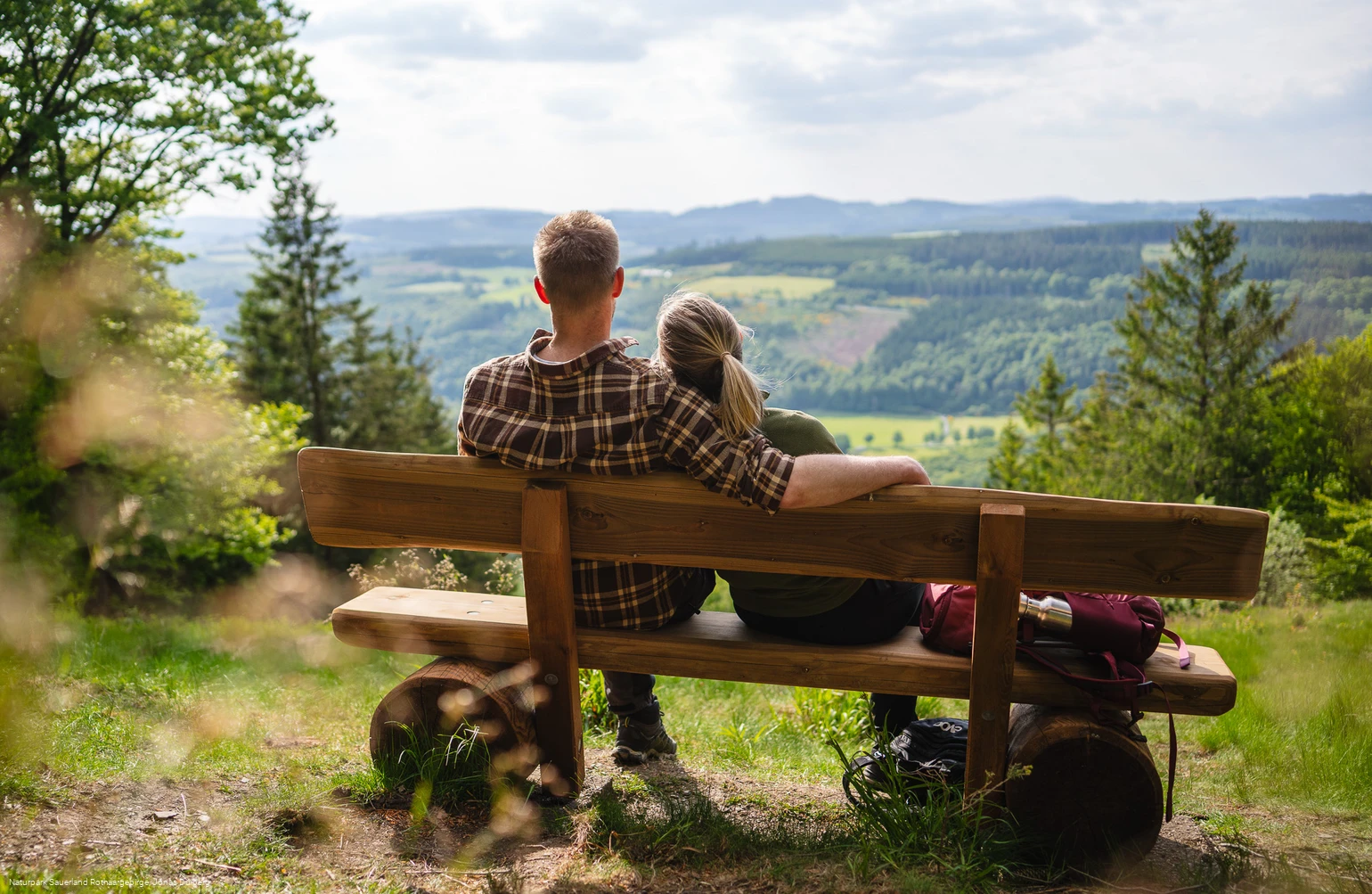
- Refreshment stop
Sauerland-Höhenflug: From Medelon to Küstelberg
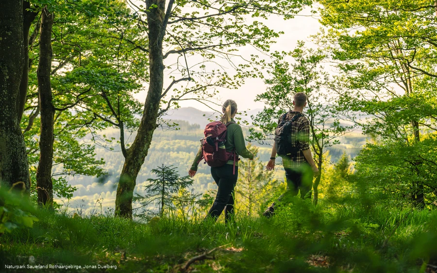
On this 14-kilometre stage from Medelon to Küstelberg, you first hike through the beautiful Orketal valley before climbing up to the source of the Orke and Küstelberg.
Tour starting point:
Medelon town center
Tour destination point:
Küstelberg, at the hiking portal in the center of the village
Properties:
Additional Information
Service and booking hotline of the Sauerland-Höhenflug: 02974 - 202 199
Category
regionaler WanderwegLength
13.6 kmDuration
3:05 hElevation ascent
443 mElevation descent
156 mLowest point
373 mHighest point
766 mCondition
Difficulty
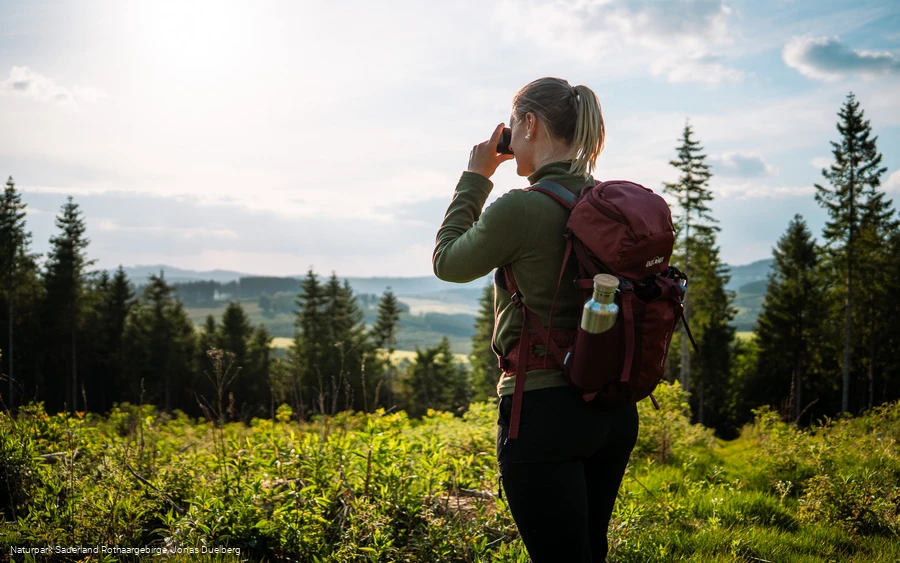
The stage starting from Medelon first leads through the beautiful Orketal, which is part of the Medebach Bay FFH area and therefore home to many rare animals and plants. After hiking through the Orketal, the Sauerland-Höhenflug leaves the Medebach Bay and climbs high up into the Rothaargebirge mountains, where you can enjoy a wonderful panoramic view from the Rösberg at over 781 m above sea level. The trail runs over the ridge to the village of Küstelberg, the highest village in Medebach.
Information
Directions
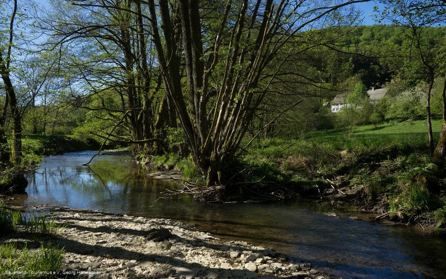
The stage begins in Medelon on Orkestraße near the parish church of St. Engelbert. From here, the Sauerland-Höhenflug leads through the picturesque Orketal valley, where the river meanders in numerous meanders and forms a natural habitat for rare animals and plants. Kingfishers and dippers can be found here. The Orketal is part of the Medebach Bay FFH area. The Geologischer Aufschluss in the old quarry, which forms part of the Medebach-Hallenberg Geo-Experience Route, provides a glimpse into the history of the earth.After hiking through the Orketal, the ascent begins out of Medebach Bay and up into the Rothaargebirge mountains. In just three kilometers, the Sauerland-Höhenflug overcomes over 300 meters in altitude. On the Rösberg at 781 m above sea level, the highest point of this stage, the ascent is rewarded with a magnificent panoramic view over Elkeringhausen to the Kahler Asten and the Hunau Tower. The Stutzstein, which can be found near the vantage point, is reminiscent of the typical Sauerland "Schnadegänge", where you can learn about the borders in a sustainable and conscious way.The hiking trail now runs along the ridge to the hilltop village of Küstelberg, the highest village in Medebach. Just before the village is the source of the River Orke, the valley of which we walked through just a few kilometers ago. Küstelberg was first mentioned in 1177 and refers to the former monastery, which was moved to Glindfeld in 1298. Küstelberg is located on the old Heidenstraße and therefore quickly developed into a highly frequented place, only losing its importance with the construction of better roads and the railroad.Today, Küstelberg offers a wide range of tourist attractions with numerous hiking trails, a high ropes course, a Nordic walking center and a ski slope. The stage ends in the village center of Küstelberg. In addition to the bus stop and extensive information boards, there is also an imposing 500-year-old lime tree here, which is a kind of landmark of the village.
Equipment
No special equipment required
Author Tip
Refreshment and accommodation tips:
Pension Schweinsberg
Orkestrasse 27
59964 Medebach - Medelon
Phone: 02982 - 8489
Mail: info@pension-schweinsberg.de
www.pension-schweinsberg.de
Müller's Landhotel
Orkestrasse 26
59964 Medebach - Medelon
Phone 02982 8116
info@landhotel-mueller.de
www.landhotel-mueller.de
Café-Astenblick with guest house
Winterbergerstr. 11
59964 Medebach-Küstelberg
Phone: 02981 477
cafe-astenblick@t-online.de
www.cafe-astenblick.de
Literature
StandpunktVerlag (ed.) (2017): Adventure hiking guide Sauerland-Höhenflug. Standpunkt-Verlag. ISBN 9783942309011, 14,90 €
Maps
StandpunktVerlag (ed.) (2017): Adventure hiking guide Sauerland-Höhenflug. Standpunkt-Verlag. ISBN 9783942309011, 14,90 €
Public transit
In Küstelberg: The Küstelberg bus stop is located exactly at the intersection of Sauerland-Höhenflug and Winterberg Straße (L 740). From here, you can use public transport in the direction of Medebach (S30), Brilon (S30), Düdinghausen (R48) and Winterberg (R48). An ideal start to the hiking trail!
Further information can be found at http://www.rlg-online.de.
How to get there
Küstelberg: Küstelberg can be reached from Winterberg via the B480 and the L740.
Parking
In Küstelberg: Parking spaces are located directly at the hiking portal at Winterbergerstr. 4. GoogleMaps coordinate: 51.222851,8.603973


