- Summit
- Refreshment stop
- Circular route
Schwedensteig - Heidenstraße (W1)
Tour starting point:
SGV hiking portal in the center of Westfeld.
Tour destination point:
SGV hiking portal in the center of Westfeld.
Properties:
Additional Information
Gastronomy along the Schwedensteig - Heidenstraße hiking trail:
-LandgasthofSchneider Winterberg Straße Tel.: 0 29 75 / 33 2
-Gasthofund Hotel Bischof Am Birkenstück 3 Tel.: 0 29 75 / 96 60
-Schwedenhütte Altastenberg Tel.: 0171 / 3729398
-GasthofBraun Ohlenbach Tel.: 0 29 75 / 41 1
-HotelWaldhausen Ohlenbach Tel.: 0 29 75 / 84 0
-Café-Restaurant Bauernschänke Ohlenbach Tel.: 0 29 75 / 410
-CaféBackes Lennestraße 1 Tel.: 0 29 75 / 10 65
Further restaurants, accommodation and activities in the Schmallenberg Sauerland can be found here.
Category
regionaler WanderwegLength
14.9 kmDuration
5:00 hElevation ascent
470 mElevation descent
470 mLowest point
482 mHighest point
779 mCondition
Difficulty
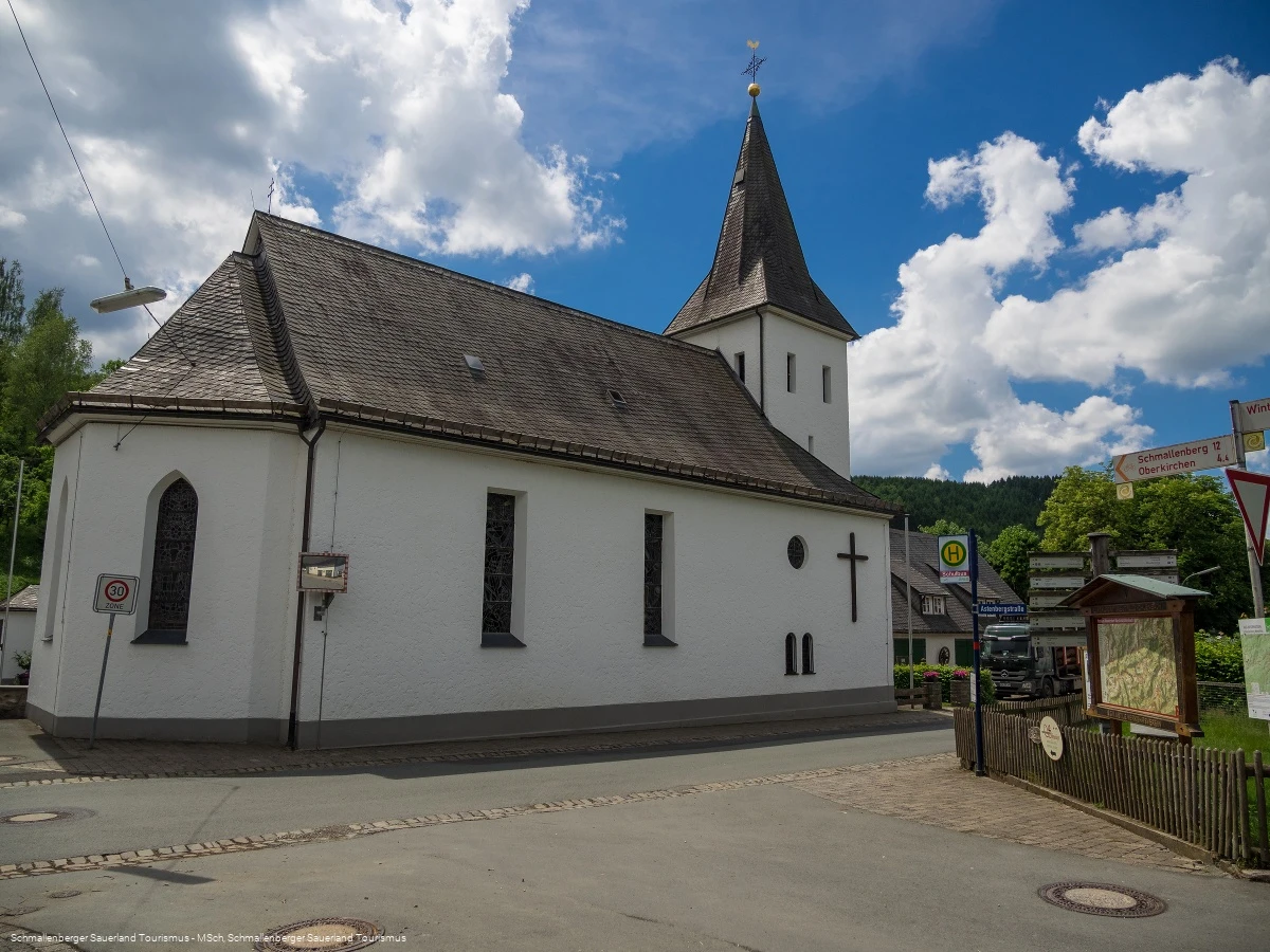
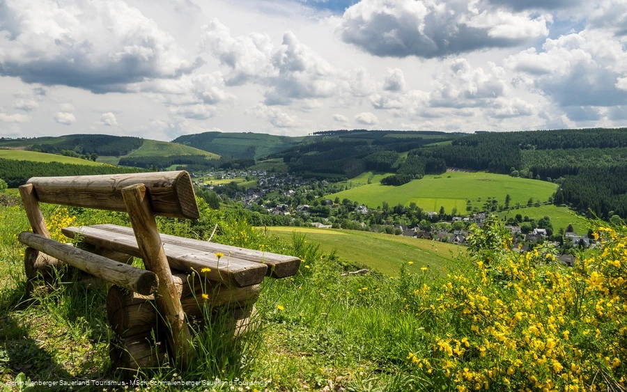
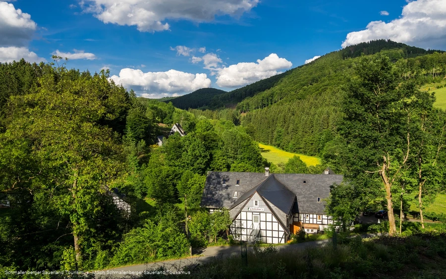
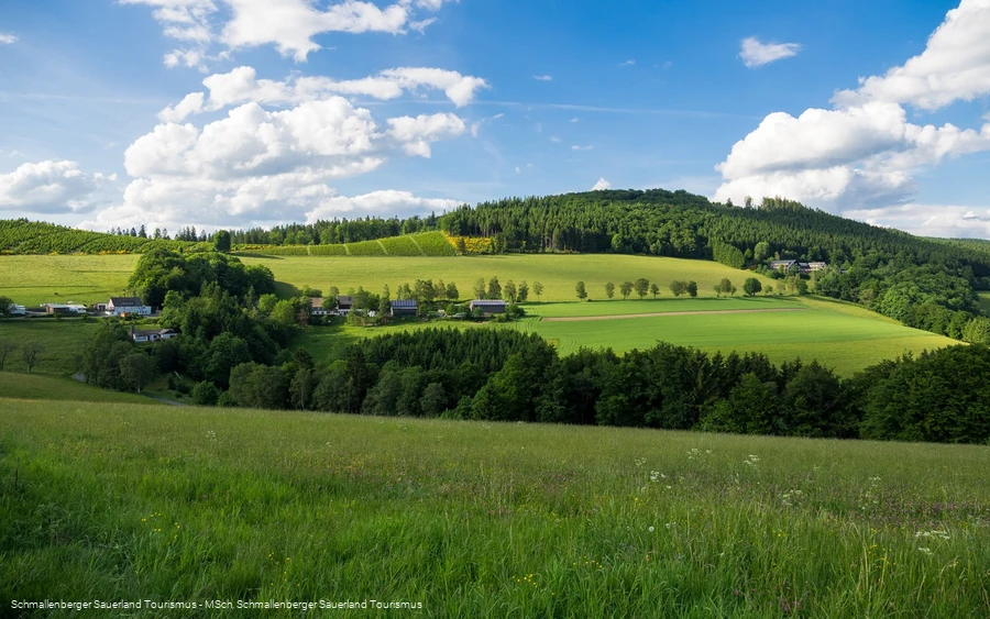
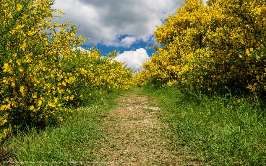
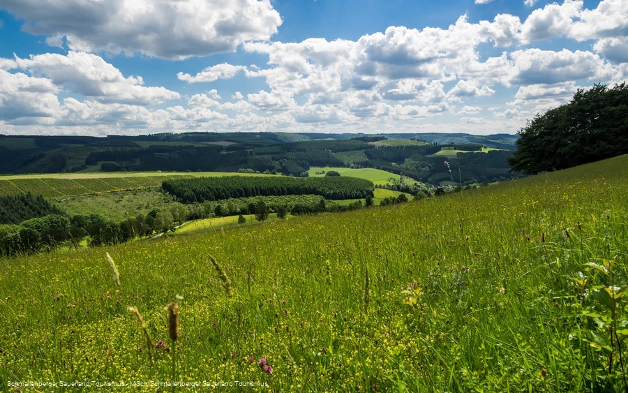
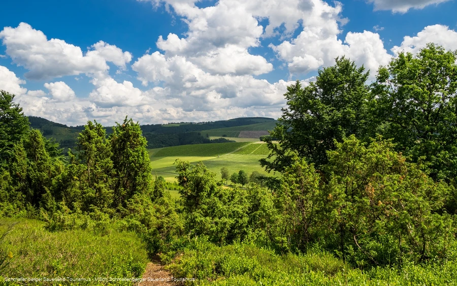
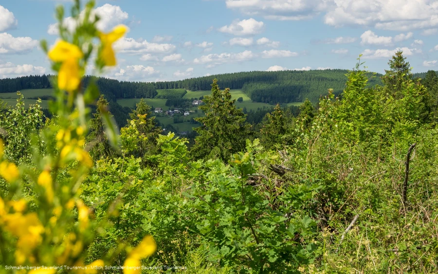
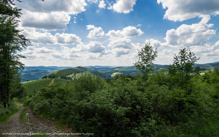
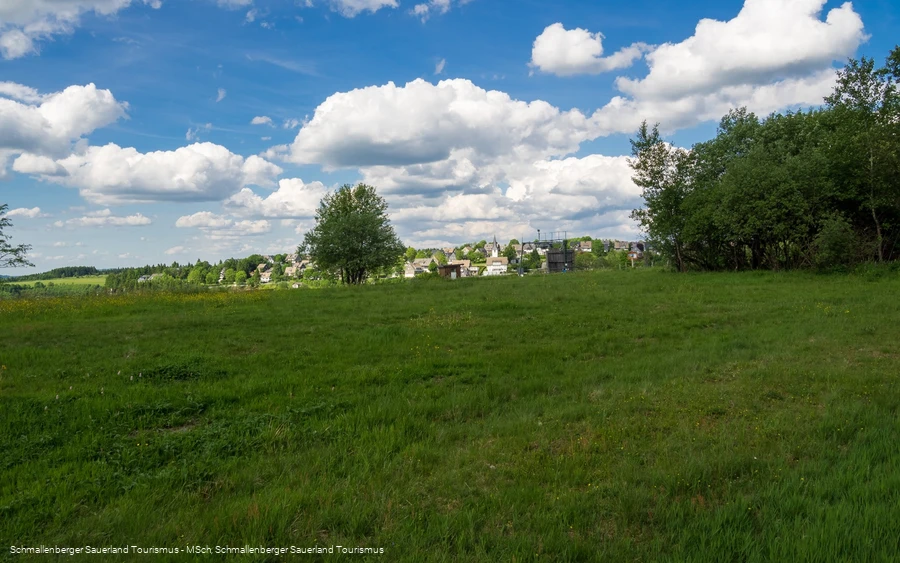
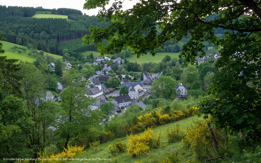
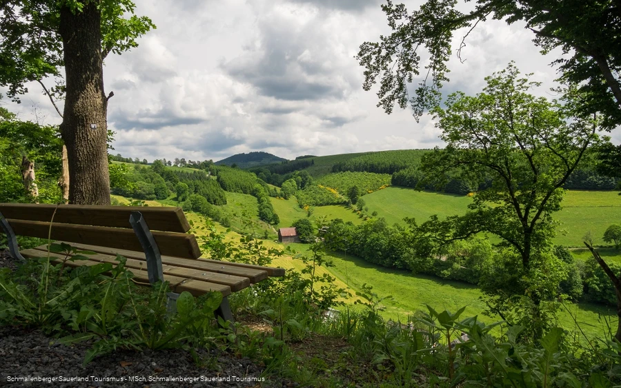
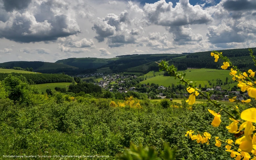
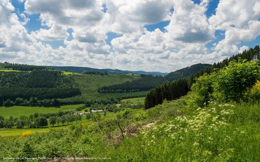
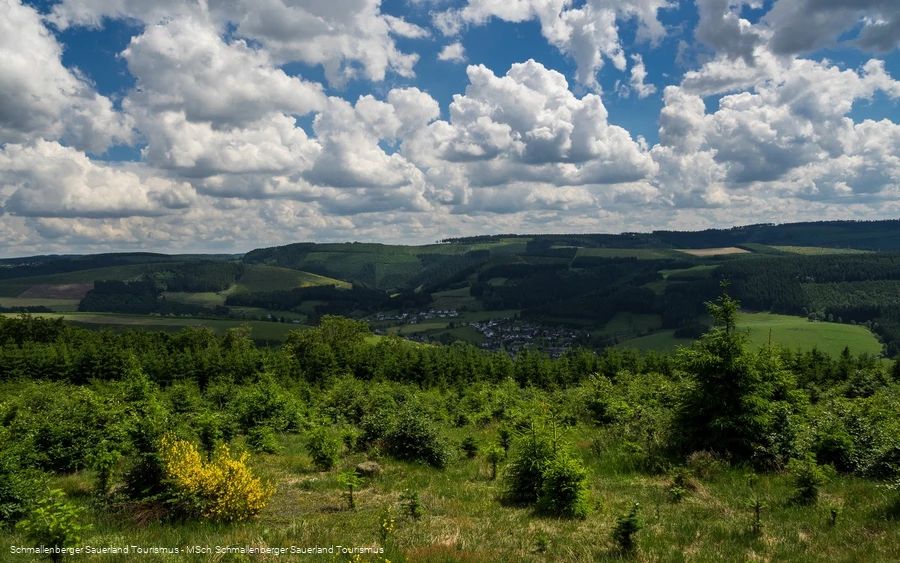
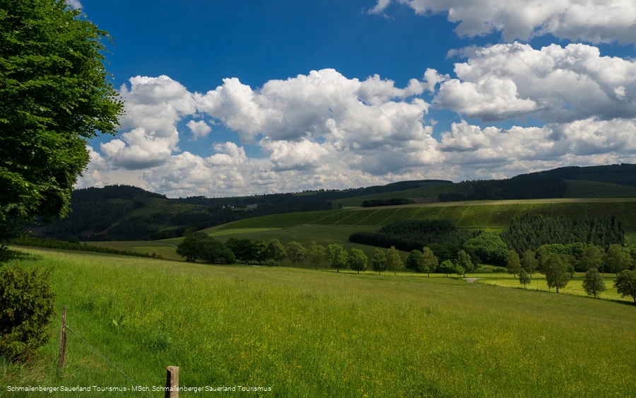
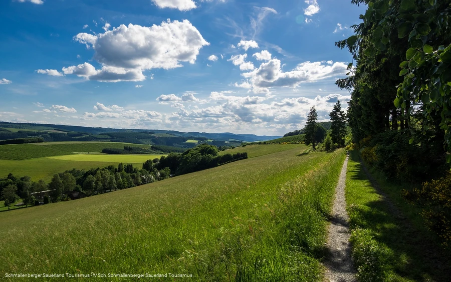
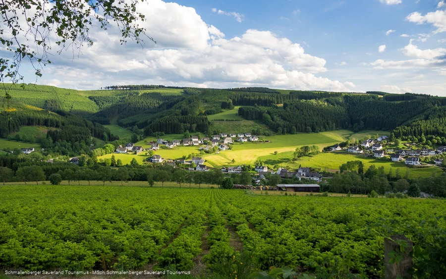
The start and finish are at St. Blasius Church - the trail is marked W1. The circular hiking trail has a total length of 15.5 kilometers, but can be shortened to 6, 9 (Rehhecke: towards Schützenkreuz and back along Heidenstraße) or 12.5 (Knick) kilometers. As the name suggests, the hiking trail leads along the old Heidenstraße (this centuries-old historical military, trade and pilgrimage route between Leipzig and Cologne crosses the Kurköln Sauerland in Hochsauerland and the Olpe district), past the Schwedenschanzen (old border fortifications) to the Schwedenhütte in the Winterberg hilltop village of Altastenberg. You cross the Rehhecke nature reserve with its juniper heath and Hudebuchen beech trees and from the Wesenberg you can enjoy beautiful views of the Bundesgolddorf Westfeld, the Hoher Knochen and the Kahler Asten.
Information
Directions
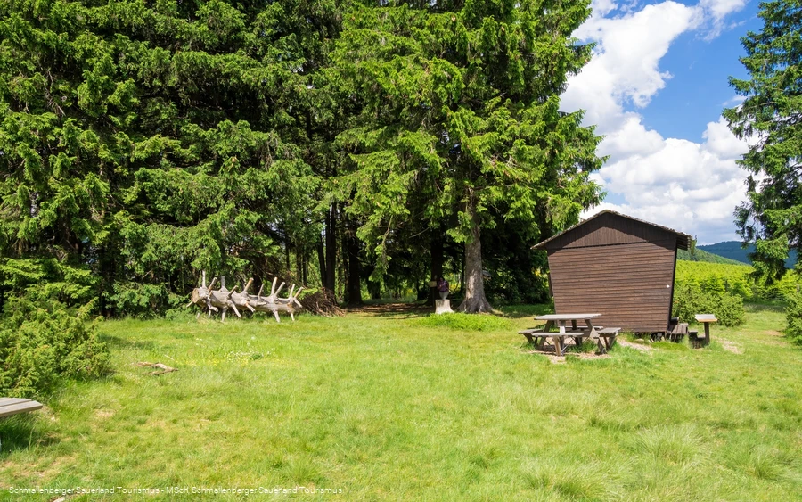
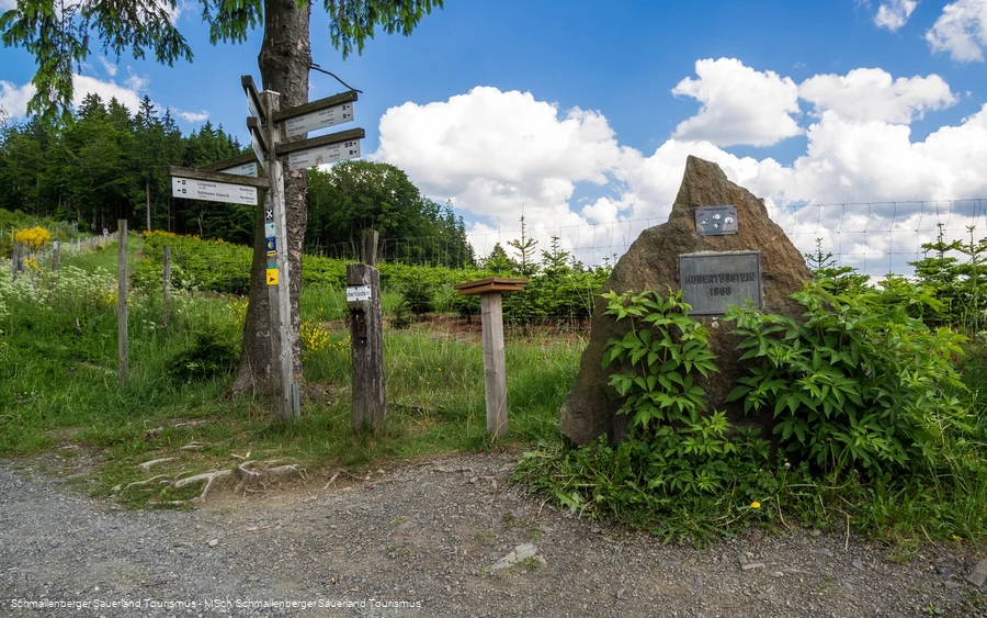
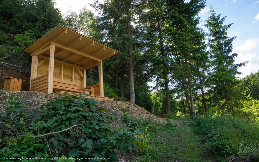
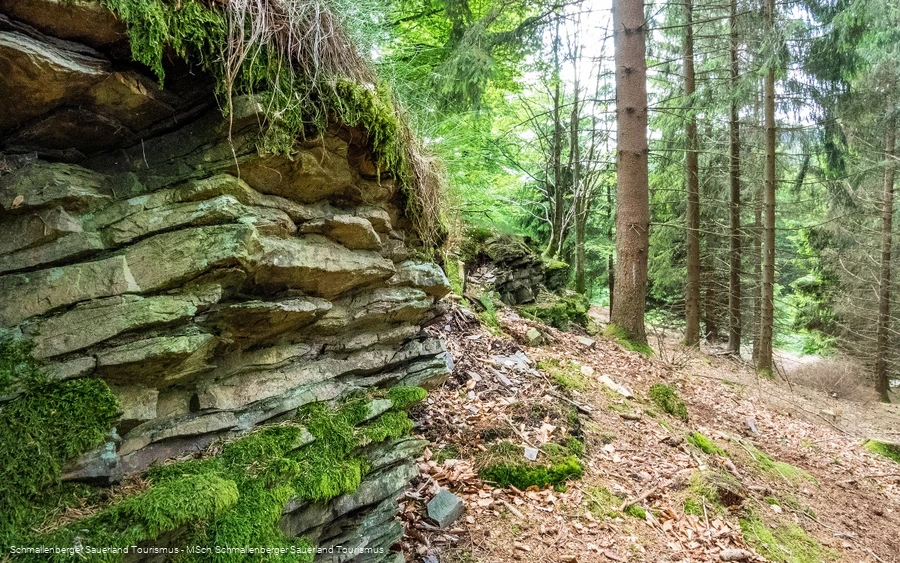
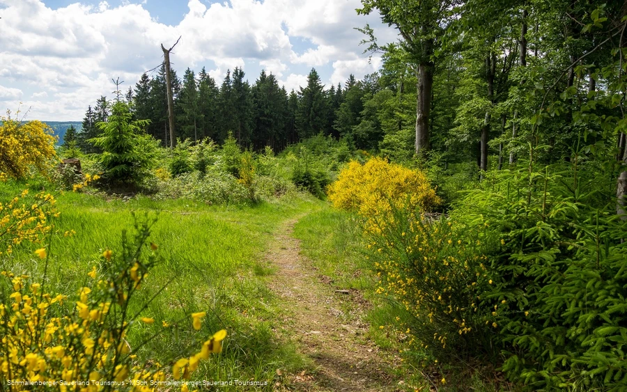
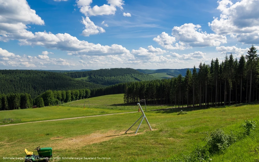
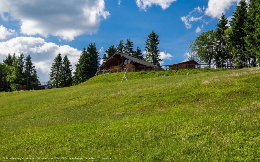
You start your tour at the SGV hiking portal in the center of Westfeld. First, the trail runs along the W1 in a wide loop and after approx. 2.5 km past a Köhlerhütte over the Wesenberg.It then leads eastwards to the Rehhecke nature reserve, a juniper grove with old copper beeches, dwarf heaths and rare plant and animal species and on to the Hubertusstein.From here, you first follow the Heidenstraße steeply uphill to its summit at approx. 766 m, where you can enjoy a fantastic view. Continue along Heidenstraße until you reach the Alte Schanzen, where you have the option of taking a shortcut to the right towards Schwedenhütte.Alternatively, follow the As2 trail to the large parking lot in Altastenberg. There, take a sharp right onto As3, past Wegstein Heidenstraße to Schwedenhütte, where you can stop for a bite to eat.Continue on the As3 until you reach a fork in the path, where you turn left onto the W1 hiking trail, which is characterized by a small path through the Buchenwald.The W1 leads the remaining 5 km back to the starting point of the hike, the SGV hiking portal in the center of Westfeld.
Equipment
Safety guidelines
Author Tip
Maps
Public transit
The S40 bus line runs in Westfeld. Use the "Kirche" stop to get to the starting point of the tour.
To the timetable information: www.rlg-online.de
With the Schmallenberg Sauerland Card you can travel free of charge by bus and train in the region
How to get there
Parking
Parking is available in the center of Westfeld near the church (Winterberg Straße / junction Dorfstraße).
Alternatively, you can park in the parking lots in the area of the cross-country skiing center / ski hut (approx. 1 km from the church).
