- Circular route
Short spa trail with detour to the Buchhagen Chapel
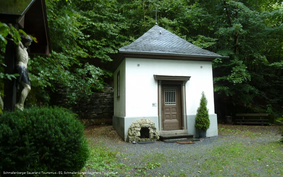
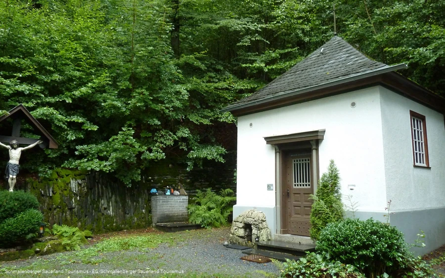
Short hike to the Buchhagen Chapel near Bad Fredeburg.
Tour starting point:
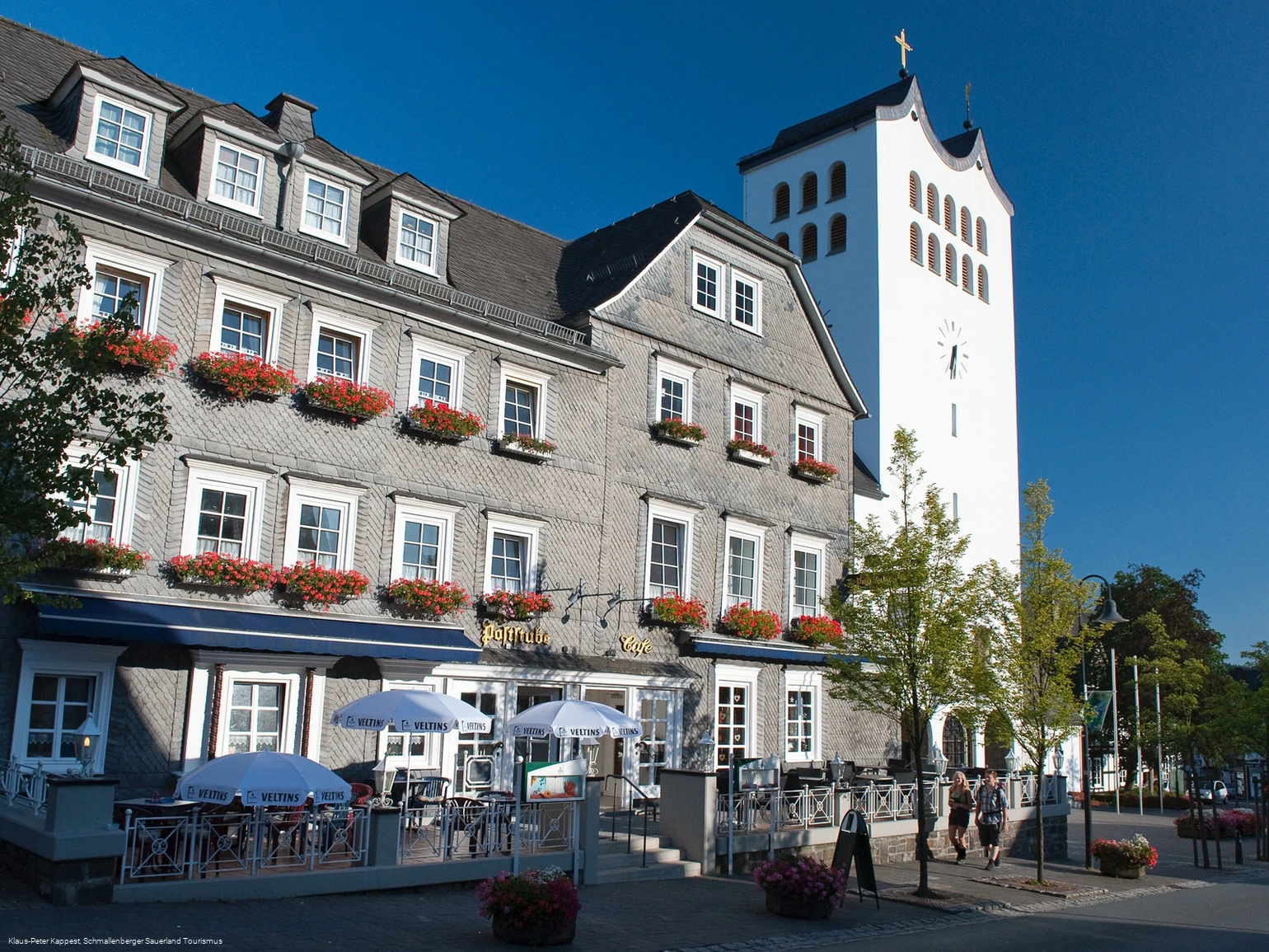
St. George's Parish Church Bad Fredeburg
Tour destination point:
St. George's Parish Church Bad Fredeburg
Properties:
Category
ThemenwegLength
4.3 kmDuration
1:30 hElevation ascent
124 mElevation descent
124 mLowest point
426 mHighest point
549 mCondition
Difficulty
Information
Directions
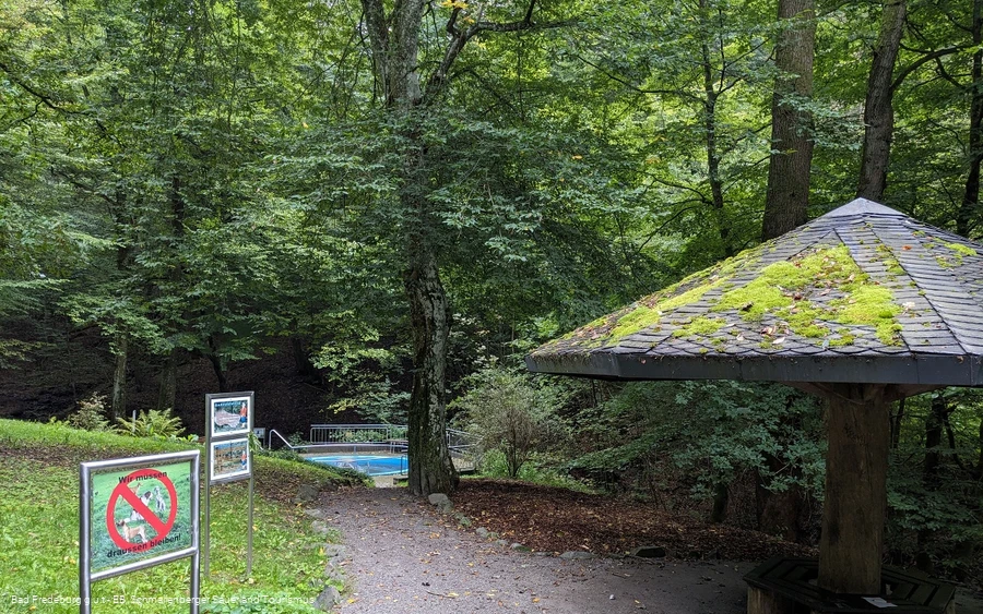
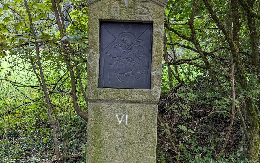
Start at the church and walk a few meters to the Burgapotheke. This is located slightly above the church on the opposite side. Follow the hiking sign BF 4 at the beginning. The path leads approx. 200 m through a small alley. Behind the kindergarten, we leave the alley and the BF 4 to the right. After another 50 m, turn left onto the road and stay on the road until you reach the end of the village. Now follow the gravel path for about 400 m to the turning area. After the turning area, turn left and walk downhill through a floodplain to reach the Kalte Schlade pedal basin.At the Kalte Schlade pedal basin, the path makes a 180° turn to the left. After 200 m, turn right onto the asphalt road at the Stations of the Cross VI and continue to follow the hiking sign A 4 past the Stations of the Cross, climbing steeply uphill to the Buchhagen Chapel.Follow the same path back to Way of the Cross station VI. Now turn right and stay on the asphalt path until you reach the village. Follow the road "An der Lied" straight on downhill until the "Johannes Hummel Weg" leads to the left. From here, follow the hiking sign BF 4 back to the starting point at the church.
Equipment
We recommend that you bring sturdy shoes, clothing suitable for the weather and sufficient food and drink.
Safety guidelines
A rescue point system has been installed in the Hochsauerland district. Rescue points can be found on the information boards at junctions and on the hiking signs.
Maps
Hiking map Bad Fredeburg, scale: 1 : 20,000
Hiking map Schmallenberg, scale: 1 : 25,000
Public transit
The bus lines S90, R69 and 474 run in Bad Fredeburg. Use the bus stop "Sparkasse" to get to the starting point of the tour
Timetable information: www.rlg-online.de
With a valid Schmallenberg Sauerland Card, you can travel free of charge by bus and train in the region.
How to get there
You can reach Bad Fredeburg via the B55 or the L776.
Parking
Free parking is available at the Kurhaus in Bad Fredeburg.
