- Refreshment stop
- Circular route
Wenholthausen Gold Village Route
Important notice:
Due to a bridge demolition at Gut Blessenohl, the Golddorf-Route Wenholthausen cannot be hiked until probably the end of October 2025. Please use the "Temporary Alternative".
Click here for the "Wenholthausen Gold Village Route - Temporary Alternative".
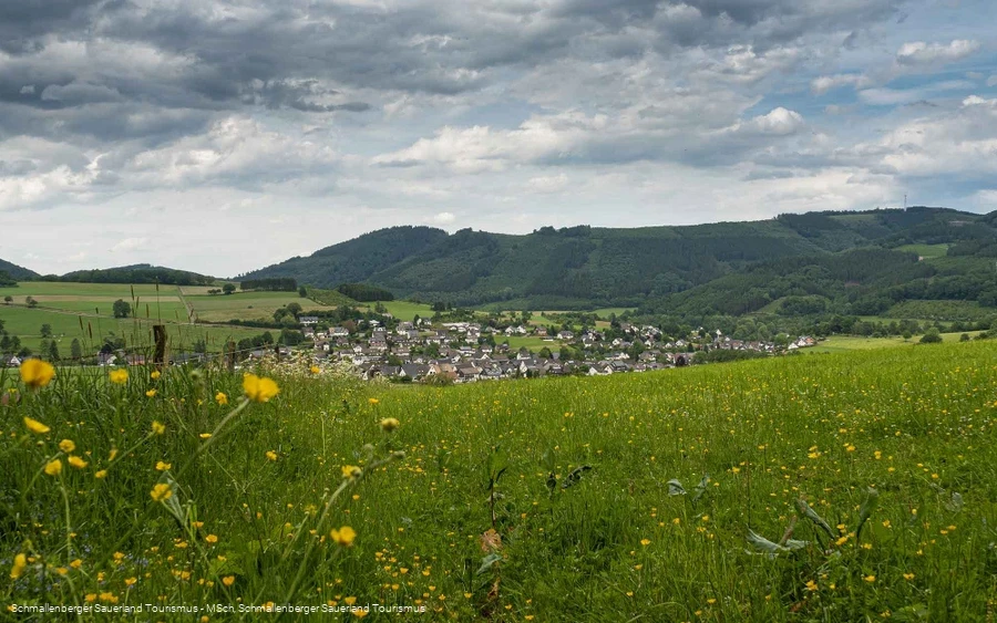
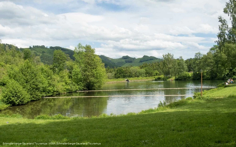
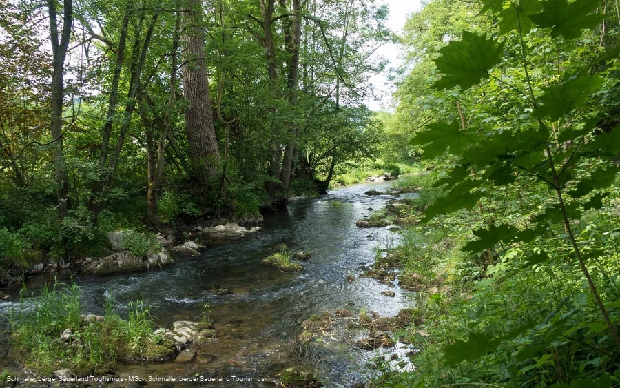
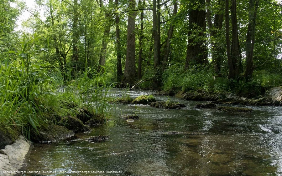
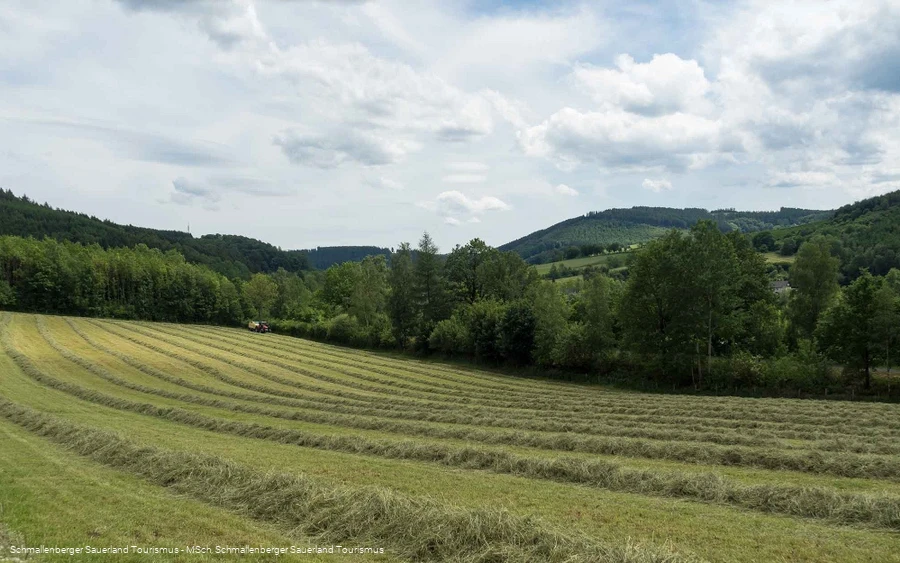
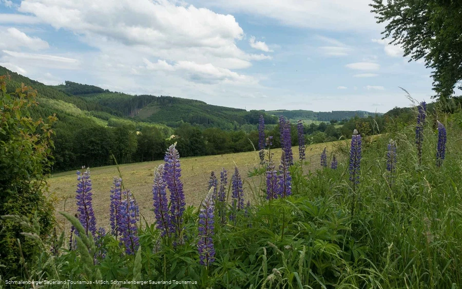
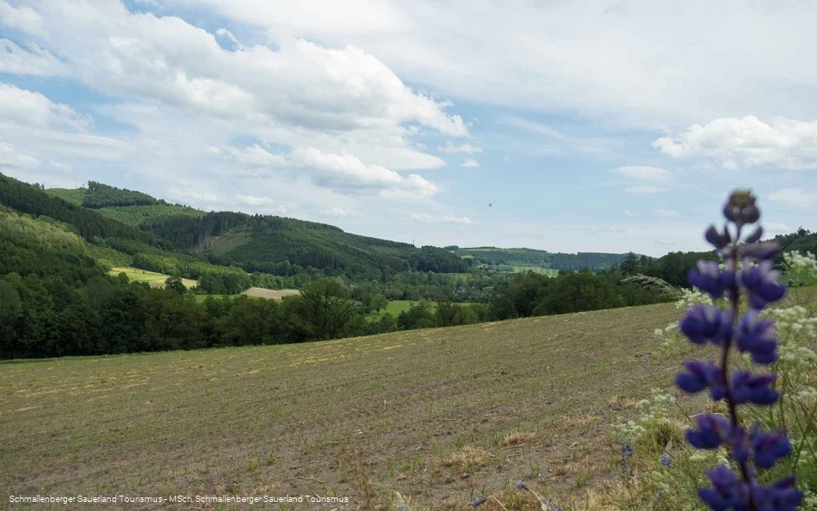
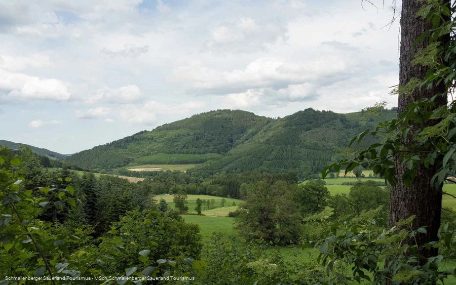
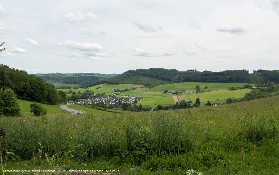
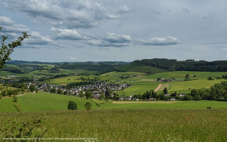
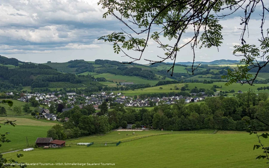
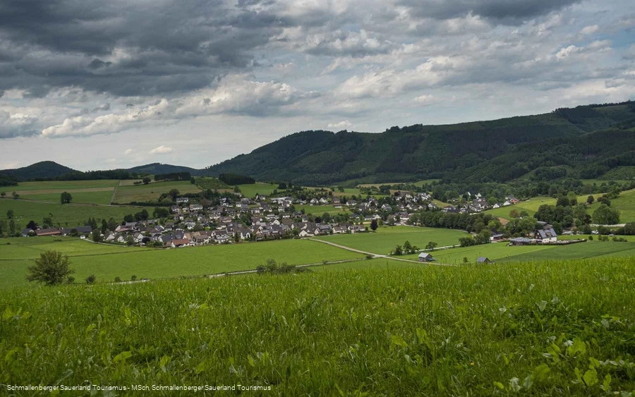
A scenic hike along the Esmecke-Stausee reservoir, the Erdenklangstraße, the game reserve, the pit-pat facility and the playground.
Tour starting point:
Eslohe Wenholthausen - Wenneplatz
Tour destination point:
Eslohe Wenholthausen - Wenneplatz
Properties:
Additional Information
Gastronomy along the Golddorf Route-Wenholthausen:
- Landgasthof Seemer Südstraße 4 Tel.: 0 29 73 / 570
- Hotel Haus Hochstein Südstraße 6 Tel.: 0 29 73 / 97 11 0
- Land- und Wandergasthof Sauerländer Hof Südstraße 35 Tel.: 0 29 73 / 97 96 0
- Station am Esmeckestausee Am Einberg 3 Tel.: 0 15 1 / 25 111 013 or 0 17 3 / 35 777 02 Open from May to October (closed on Mondays)
- Restaurant Pizzeria "bei Toni" Mathmeckestraße 4 Tel.: 0 29 73 / 45 1
You can find more restaurants, accommodation and activities in the Schmallenberg Sauerlandhere.
Category
regionaler WanderwegLength
11.3 kmDuration
3:10 hElevation ascent
243 mElevation descent
271 mLowest point
263 mHighest point
427 mCondition
Difficulty
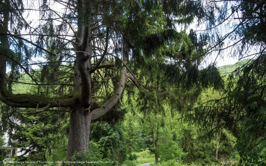
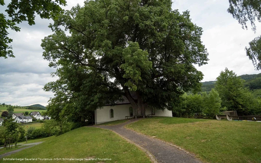
The moderately difficult hike can be done with an all-terrain baby carriage. Highlights of the tour are the Wennepfad, the Esmecke-Stausee reservoir with kiosk, the Teufelstanne, the Erdenklangstraße and the Eibel with game reserve, pit-pat facility and playground.
(Pit-pat is a combination of mini-golf and billiards. The game is played with billiard sticks on waist-high tables, on which obstacles have to be overcome and the ball has to be pocketed).
Information
Directions
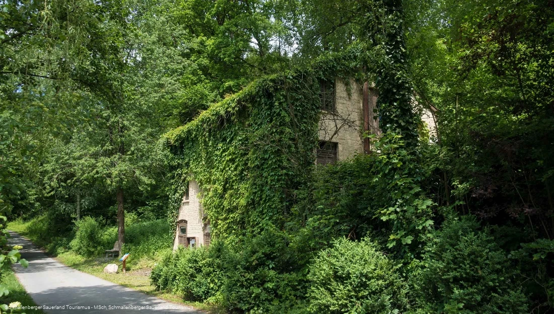
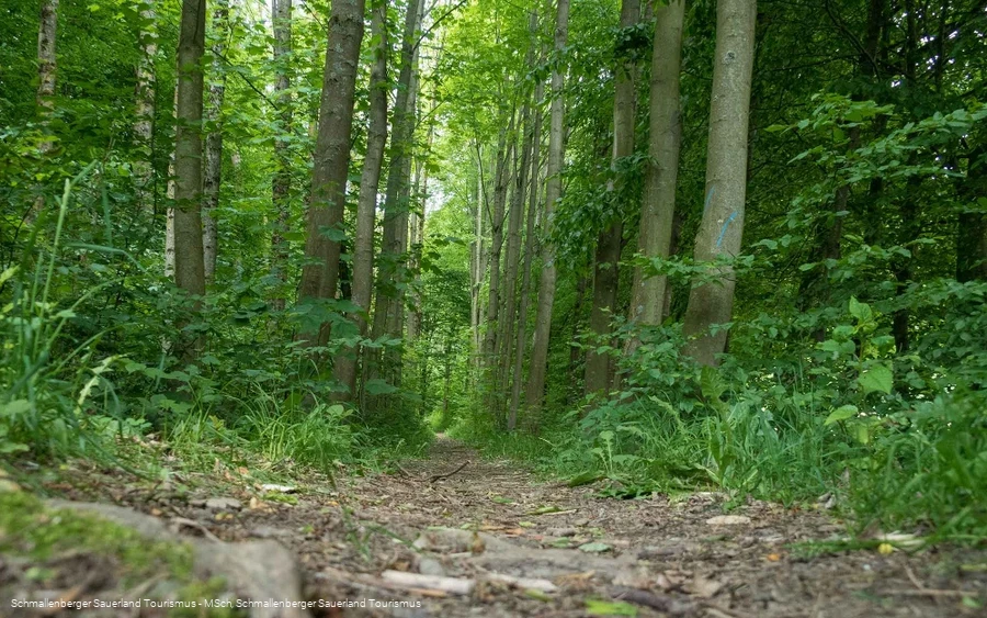
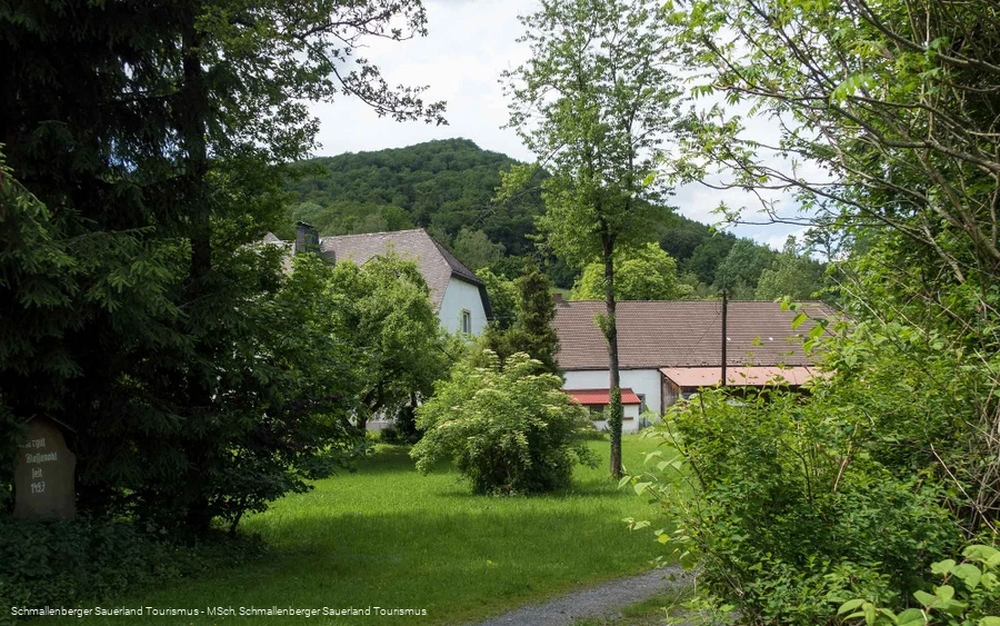
We walk from the Wenne parking lot along the Wennepfad in the direction of Lichte Eicken (railroad water pumping station) to the pedal basin. We continue to the right, cross the new cycle path, through the lower Hardtfeld past Gut Blessenohl and the Esmecke-Stausee reservoir (kiosk), through the "Am Eimberg" nature reserve to the Beerenberg parking lot.The Golddorf route continues in the direction of Beerenberg, left through the forest past the water reservoir in Eickert, around the fish ponds to the Teufelstanne. After another 20 minutes, you pass the Erdenklangstrasse and walk past Gut Habbecke to the path below the game reserve. The Eibel Chapel with the Way of the Cross leads back to the starting point at the Wenne parking lot.
Equipment
We recommend that you bring sturdy shoes and sufficient food and drink.
Safety guidelines
A rescue point system has been installed in the Hochsauerland district. Rescue points can be found on the information boards at junctions and on hiking signs.
Author Tip
In summer, it's worth packing your swimming trunks on warm days, as the Esmecke-Stausee reservoir (kiosk) invites you to cool off.
Maps
Public transit
You can reach Wenholthausen with the bus line 367. Use the bus stop "Hotel zur Post", from here it is a 2 minute walk to the Golddorf Route.
To the timetable information: www.rlg-online.de
With theSauerlandCard you can travel free of charge by bus and train in the region.
