- Refreshment stop
- Circular route
Winter hiking: On the forest sculpture trail near Schanze
Tour starting point:
Schmallenberg ski jump
Tour destination point:
Schmallenberg ski jump
Properties:
Category
Winter hikingLength
7 kmDuration
3:00 hElevation ascent
91 mElevation descent
91 mLowest point
699 mHighest point
756 mCondition
Difficulty
The trail leads along the Rothaarsteig mountain range through a densely wooded mountain landscape, which in some places opens up to magnificent views of the Sauerland landscape below. In addition, the forest sculptures along the trail attract the attention of hikers.
Information
Directions
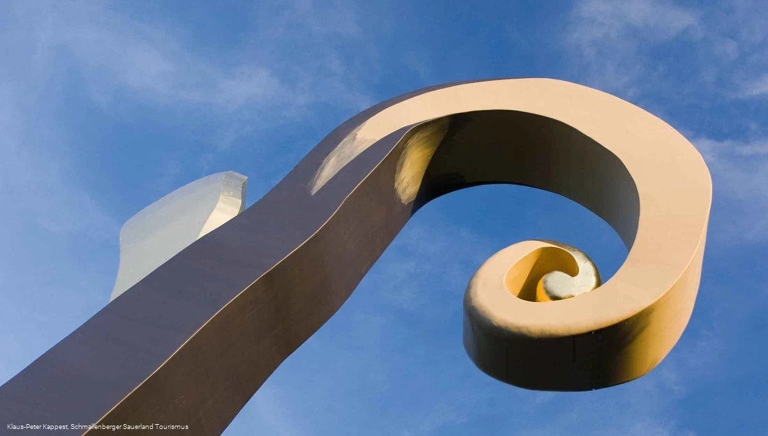
The trail starts in the middle of the village of Schanze and follows the SZ4 hiking trail past the Kyrill path and the Krummstab towards the Rothaarsteig. The trail continues along the Rothaarsteig towards Kühhude. In Kühhude, the trail turns off the Rothaarsteig to the east and continues along the circular trail. However, if you wish, you can continue along the Rothaarsteig and hike to the "Stein-Zeit-Mensch" sculpture. The trail from Kühhude back to Schanze rejoins the Rothaarsteig at the "Kein leichtes Spiel" sculpture. From there, follow the path to the junction with the SZ3. At this waypoint, turn left towards Schanze and after approx. 1.5 km you reach the village of Schanze again.
Equipment
Safety guidelines
Maps
Public transit
How to get there
Autobahn A 45, exit Olpe, continue on the B 55 federal highway in the direction of Winterberg / Lennestadt to Bilstein, then on the B 236 in the direction of Lennestadt / Winterberg to Schmallenberg.
Autobahn A 44 from Dortmund: to Werl junction (no. 54), continue on the A 46 towards Arnsberg to the Wennemen/Schmallenberg exit, continue via Freienohl, Wenholthausen, Bad Fredeburg to Schmallenberg
Autobahn A 44 from Kassel: to the Büren exit (no. 60), direction Rüthen to Nuttlar, direction Meschede (B 7) to Bestwig, direction Westernbödefeld / Bad Fredeburg / Gleidorf to Schmallenberg
Turn off in Schmallenberg, Gleidorf (B236) or Oberkirchen (B236) towards Graftschaft, from there continue to Schanze
