- Summit
- Culturally interesting
- Refreshment stop
- Circular route
Brilon-Wald summit tour
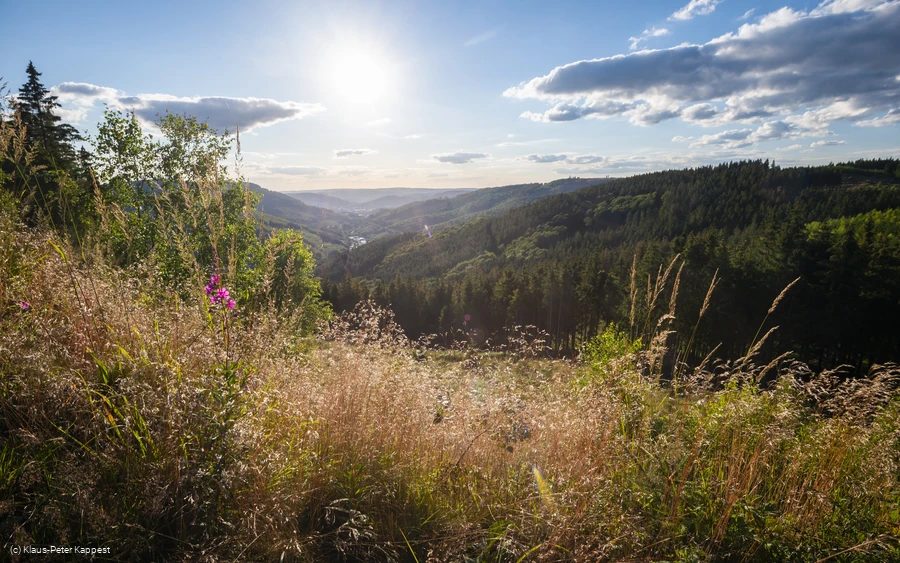
Wonderful, panoramic hike along one of the most beautiful sections of the Rothaarsteig and the Brilon Kammweg.
Tour starting point:
Hikers' parking lot above Schützenhalle Brilon-Wald
Tour destination point:
Hikers' parking lot above Schützenhalle Brilon-Wald
Properties:
Additional Information
Category
regionaler WanderwegLength
6.1 kmDuration
2:30 hElevation ascent
242 mElevation descent
242 mLowest point
472 mHighest point
657 mCondition
Difficulty
A circular tour from the valley up to the peaks of the Ginsterkopf. Part of the trail leads along the certified Rothaarsteig and Brilon Kammweg quality trails.
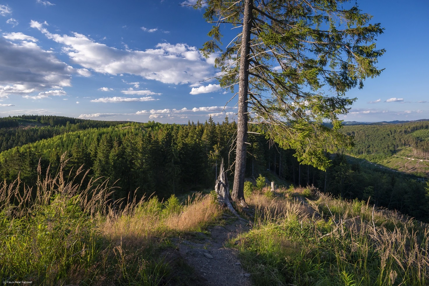
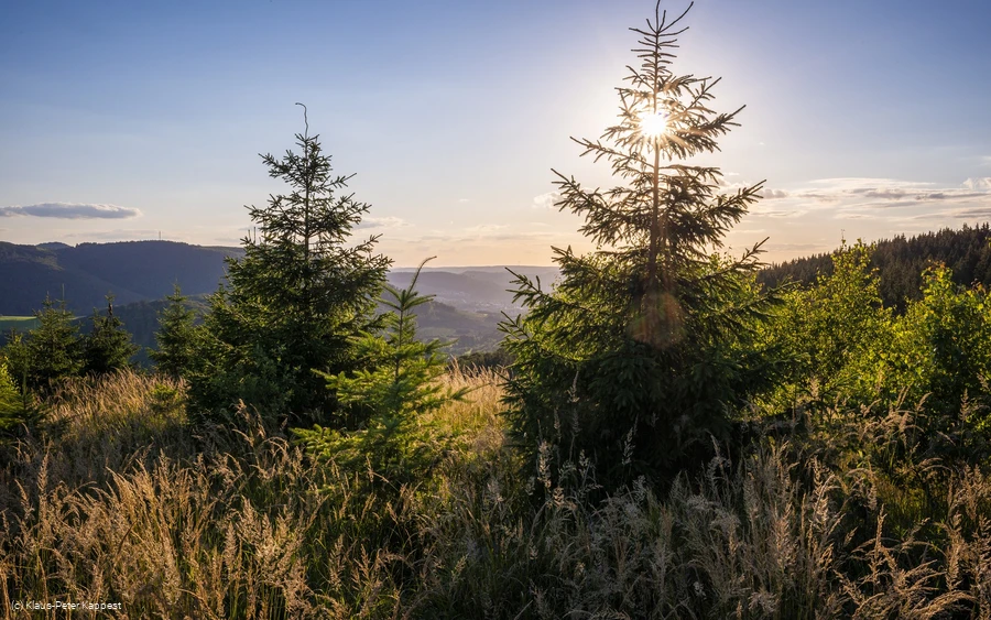
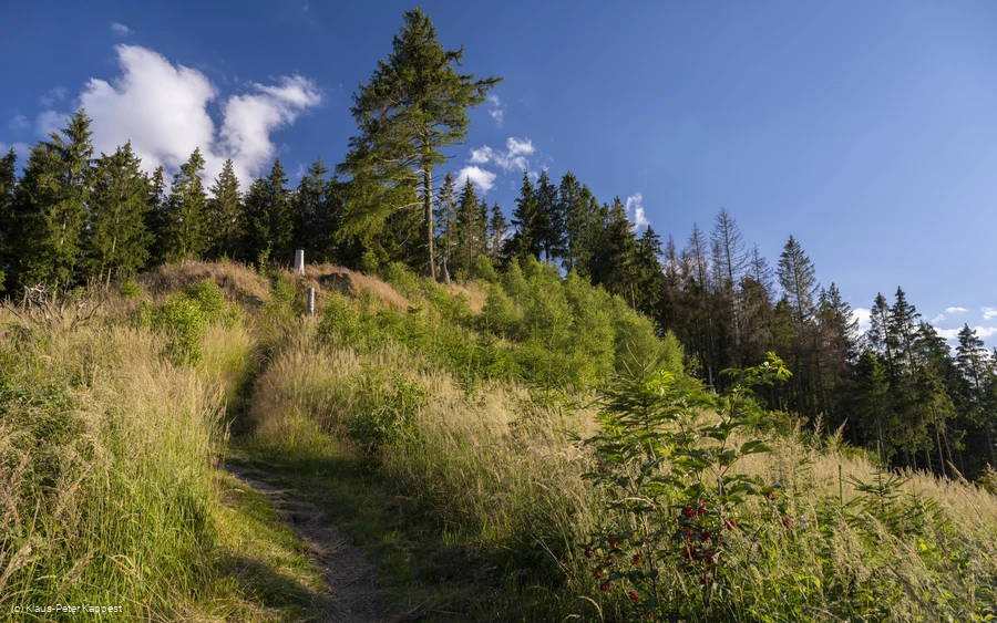
The hike begins at the hiking parking lot above the Schützenhalle in the Brilon-Wald district and loops above the village up to Schusterknapp, where the route meets the Rothaarsteig and Brilon Kammweg before reaching the Habberg and Ginsterkopf. Once you reach the top, you are literally rewarded with the highlight of the tour - at 663 m, you can simply enjoy the 360° view!
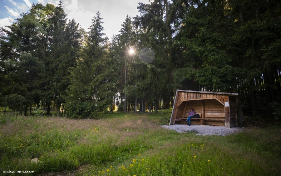
The route continues downhill again to the refuge. If you like, you can now continue downhill for another 500 m to the fire oak, which is well worth seeing and depicts the history of human development in conjunction with the positive and negative benefits of wood and fire.
The last few kilometers take you back down towards Brilon-Wald to the starting point of this impressive hike.
Information
Directions
Hikers' parking lot above the Brilon-Wald Schützenhalle - Schustersknapp -Habberg - Ginsterkopf - refuge (for those who wish: Feuereiche - refuge) - hikers' parking lot above the Brilon-Wald Schützenhalle.
Equipment
Sturdy shoes
Safety guidelines
Good footwear and fitness are definitely required, as there are some steeper sections to negotiate.
Author Tip
Allow time for the views from the Ginsterkopf and Habberg. And don't be discouraged by the steep start!
Literature
Maps
Brilon Olsberg hiking map ISBN: 978-3-86636-919-1
EUR 6.00
Public transit
How to get there
Brilon-Wald, Am Ginsterkopf/Kirchweg, direction Schützenhalle
Parking
Hikers' parking lot above the Schützenhalle Brilon-Wald
