- Circular route
Forest-Water-Walking-Trail / Heidekopftour
A circular trail to discover the changes in nature
Tour starting point:
Parking lot at Hallenberg elementary school
Tour destination point:
Parking lot at Hallenberg elementary school
Properties:
Additional Information
The Hallenberg hiking map offers you the right orientation for your next tour. You can find lots more tips and information about hiking in Winterberg and Hallenberg here, as well as an overview of particularly hiker-friendly businesses where you are in good hands.
Category
ThemenwegLength
5 kmDuration
1:40 hElevation ascent
247 mElevation descent
247 mLowest point
449 mHighest point
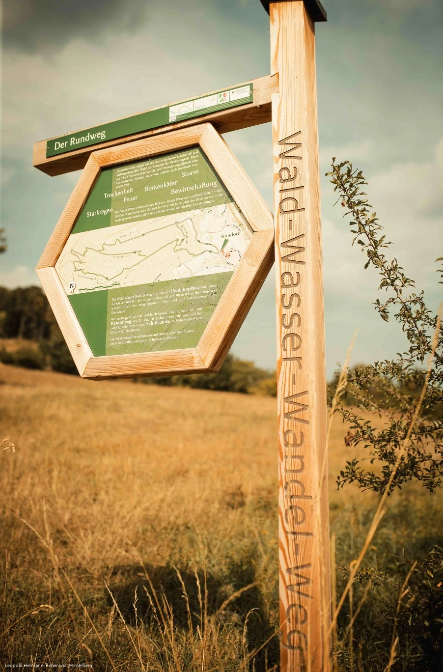
696 mWe normally see the landscape around us, and the forest in particular, as a symbol of stability. But here, too, there is always change and transformation, often over generations, but sometimes within a very short space of time: drought, bark beetles, storms, heavy rain, fire and cultivation.
The forest-water-change trail invites you to trace these processes. It focuses on our environment in the here and now, looks back over the past hundred years and looks ahead to future developments.
The most challenging version of the trail is the 4.5 km Heidkopf tour from the nature park school to the viewing tower on the 704 m high Heidekopf and back to the starting point. There are around 260 meters of altitude to overcome.
If you don't want to go quite so far and high, you can take the Kammweg (3.5 km, 115 vertical meters) or the 1.5 km long school circuit (85 vertical meters) for a shorter loop.
The trail runs along steep, narrow paths in places, which require sure-footedness and good footwear.
Information
Equipment
Please wear sturdy shoes and appropriate clothing.
How to get there
Detailed information on how to get to Winterberg and Hallenberg - whether by car, train or bus - can be found here.

