- Summit
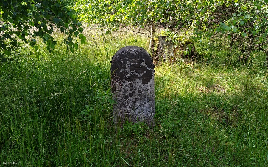
- Culturally interesting
- Refreshment stop
- Circular route
Bontkirchen border crossing
Great circular tour, partly on a beautiful route on the NRW/Hessen state border above the Ittertal.
Tour starting point:
Bontkirchen town center
Tour destination point:
Bontkirchen town center
Properties:
Additional Information
Category
regionaler WanderwegLength
11.2 kmDuration
2:30 hElevation ascent
315 mElevation descent
315 mLowest point
410 mHighest point
669 mCondition
Difficulty
Border crossers welcome!
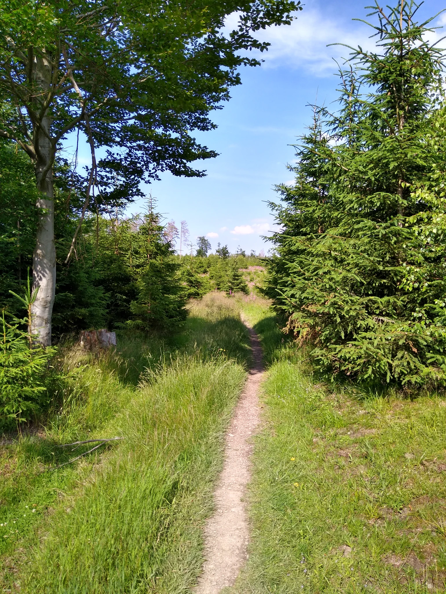
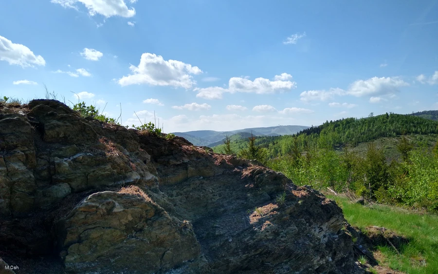
You follow the border between North Rhine-Westphalia and Hessen on narrow paths. Variety is a top priority on this tour: Coniferous forests alternate with fantastic views and ancient beech trees.
Every 10 years, the Brilon Schnade also runs along here, where Brilon's borders have been checked since 1388. The Schnade parade is one of the largest and most original folk festivals in Westfalen and is the epitome of Brilon's customs and traditions.
Information
Directions
The BK4 takes you straight from the Ittertal up to the Hoppecke Berg, past the 689 m high Hemberg to the Hirschplätze. Directly on the NRW/Hessen state border, you can enjoy part of the Brilon Kammweg with breathtaking views deep into the Westfalen and Hessen countryside. After the tour leaves the Kammweg at Butterdelle, you return to Bontkirchen through the Hessian section.BK4, X21, Green Triangle, BK5
Equipment
Sturdy shoes should be worn as a matter of course.
Safety guidelines
Rescue points on the hiking trail posts
Author Tip
Basic refreshments are available directly at the starting point in the village store.
Literature
Maps
Public transit
How to get there
Address for the navigation system: Am Hemberg, 59929 Brilon
from the west:
A1 to Dortmund/Unna junction - then A44 to Werl junction - then
A445/A46 to Bestwig-Velmede junction and continue on B7 to Brilon, then towards Diemelsee
from the north:
Hannover - A2 to Bielefeld junction - A33 to Wünnenberg-Haaren junction
and continue on B480 to Brilon, then towards Diemelsee
from the east:
A44 Kassel to Wünnenberg-Haaren junction and continue on the B480 to Brilon or exit at Marsberg junction and continue on the B7 Bredelar, then towards Diemelsee
from the south:
to Kassel and continue on the A44 to Wünnenberg-Haaren junction or exit at Marsberg junction and continue on the B7 to Bredelar, then towards Diemelsee


