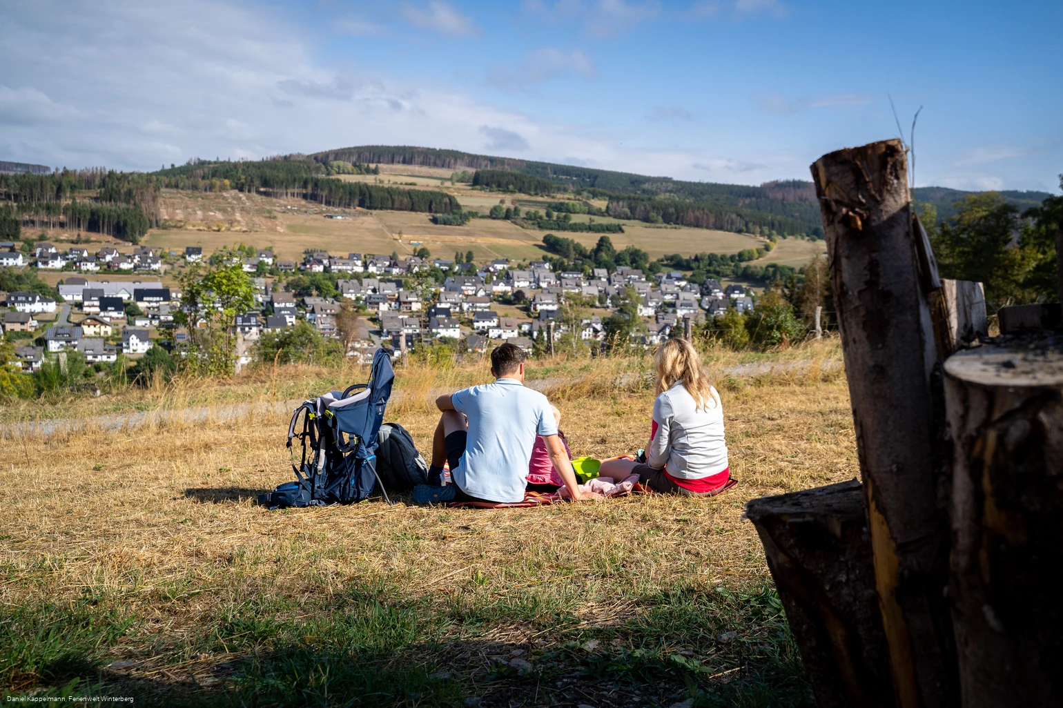
- Circular route
Kombitour-Züschen
The combined tour runs along the ridge of the Rothaargebirge and offers nature experiences rich in forest.
Properties:
Additional Information
The Winterberg hiking map offers you the right orientation for your next tour. You can find lots more tips and information about hiking in Winterberg here, as well as an overview of particularly hiker-friendly businesses in Winterberg where you are in good hands.
Category
regionaler WanderwegLength
14.3 kmDuration
4:00 hElevation ascent
391 mElevation descent
389 mLowest point
464 mHighest point
813 mCondition
Difficulty
Recommended seasons
Information
How to get there
Detailed information on how to get to Winterberg - whether by car, train or bus - can be found here.
