- Refreshment stop
- Circular route
Quellenweg Alme
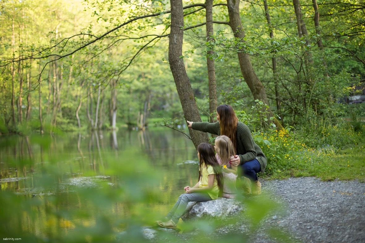
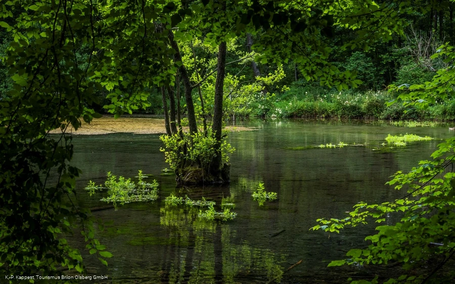
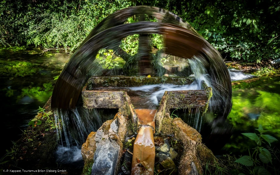
The idyllic Mühlental valley with its bubbling Almequellen springs is of rare scenic beauty.
Tour starting point:
Entenstall Alme, Untere Bahnhofstraße - Alme
Tour destination point:
Entenstall Alme, Untere Bahnhofstraße - Alme
Properties:
Category
regionaler WanderwegLength
6.5 kmDuration
1:55 hElevation ascent
109 mElevation descent
109 mLowest point
308 mHighest point
416 mCondition
Difficulty
With 104 spring outlets, the Almequellen are one of the strongest and cleanest spring discharges in Germany and are also a nature reserve.
The route goes deep through the valley and then up again to the cliff top above the Mühlental - very varied and yet not a tightrope walk.
You can experience the uniqueness of the nature reserve particularly intensively here. For those interested in geology and botany, this karst spring area offers many a surprise.
There are two restaurants in the immediate vicinity: the Eulenhof and the Almer Schlossmühle. There are of course other hiking trails in the immediate vicinity of Alme, such as the Sauerland-Waldroute, which also passes through Alme.
Alme is located in the north-eastern part of the Hochsauerland district and is therefore the gateway to the Sauerland for visitors from the north.
The village lies in the middle of undulating hills, close to the Almequellen. The altitude of between 300 and 400 meters contributes to a fairly mild climate.
Extensive deciduous and spruce forests in the immediate vicinity invite hikers to relax. The Mühlental, the source area of the Alme, is a very special gem for walkers and nature lovers.
Information
Directions
At the Alme Entenstall, follow the Q hiking sign and head towards Buttenberg.Then walk around the Mühlental valley down to the Almequellen and back to the Entenstall.
Equipment
Sturdy shoes and telescopic poles are helpful.
Safety guidelines
Rescue points on the hiking posts.
Author Tip
Refreshments at the Almer Schlossmühle or the Eulenhof
Literature
Hiking brochure "Brilon & Olsberg" - the most beautiful hiking trails
Booklet Sauerland Wanderdörfer
Maps
Public transit
How to get there
Coming from the north (from Paderborn):
Via the B480 towards Brilon
Coming from the south (from Brilon):
Via the B480 towards Paderborn


