- Culturally interesting
- Refreshment stop
Stage 1 - Mountain worlds on the Rothaarsteig
Tour starting point:
Fleckenberg, Gasthof Röhrig
Tour destination point:
Bad Berleburg, Trufterhain parking lot
Properties:
Category
regionaler WanderwegLength
18.4 kmDuration
5:03 hElevation ascent
413 mElevation descent
256 mLowest point
350 mHighest point
716 mCondition
Difficulty
Highlights on this stage are the suspension bridge and the sculptures on the Forest Sculpture Trail.
Information
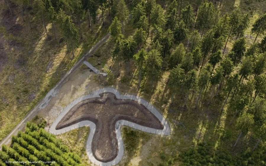
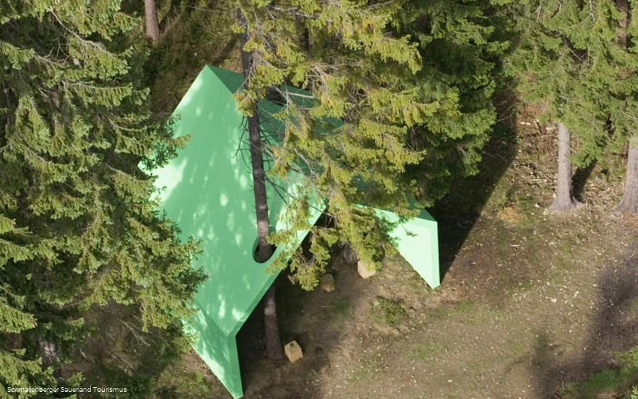
Directions
At Gasthof Röhrig, we cross the B 236 and follow Jagdhauser Straße. After the Latropbach stream, we turn left and follow the stream up the valley. The signs are X 10, later F 2 and A 2. We reach the Waidmannsruh hiking park (60 min.) and continue up the Latrop valley, now marked L 3. Shortly before Latrop, we cross the stream and walk through the spa gardens to the village center (35 min.). Latrop is one of the many villages in the town of Schmallenberg that won national gold in the "Our village should become more beautiful" competition. We meet the main hiking route X 23, the "Schieferweg", and follow it to the right and gradually uphill through the Klotzlochsiepen. At Böckenfördeplatz (30 min.), we turn left with the red and white sign of the "Rothaarsteig". It leads us to the "Hängebrücke" (35 min.) and then a little uphill back to the ridge and the sculpture "Stein, Zeit, Mensch". The Rothaar ridge is one of the most pronounced border divides in Germany; it is the watershed between the Rhine and Weser rivers, a climate, dialect and ethnic border and a political border. In order to express this border situation artistically, well-known artists have created corresponding works along the border-crossing path. Behind the sculpture, we come to the main hiking route X 2 of the Sauerland Mountain Association, which now accompanies us until shortly before Bad Berleburg. It points us to the right together with the yellow and black markings of the Rothaarsteig feeder trail and the blue gate of the WaldSkulp-turenWeg. We gradually descend through magnificent, wild forests, past the "Falken", the "green house" and another sculpture "the egg" (45 min.). We continue through forest, then through open terrain and come to a small road. Here we leave our markings and continue along the road towards the "Trufterhain" parking lot (45 min.). From here, follow the path of your choice to your accommodation (see Bad Berleburg town map).


