- Refreshment stop
- Signage
Uplandsteig valley variant
A variant of the Uplandsteig that leads through the district of Usseln.
Tour starting point:
Uplandsteig, km 37.3 (junction mountain/valley variant)
Tour destination point:
Uplandsteig, km 44.6 mountain variant, above the Diemel spring
Properties:
Additional Information
www.willingen.de/wandern
Category
regionaler WanderwegLength
6.7 kmDuration
1:47 hElevation ascent
185 mElevation descent
64 mLowest point
520 mHighest point
674 mCondition
Difficulty
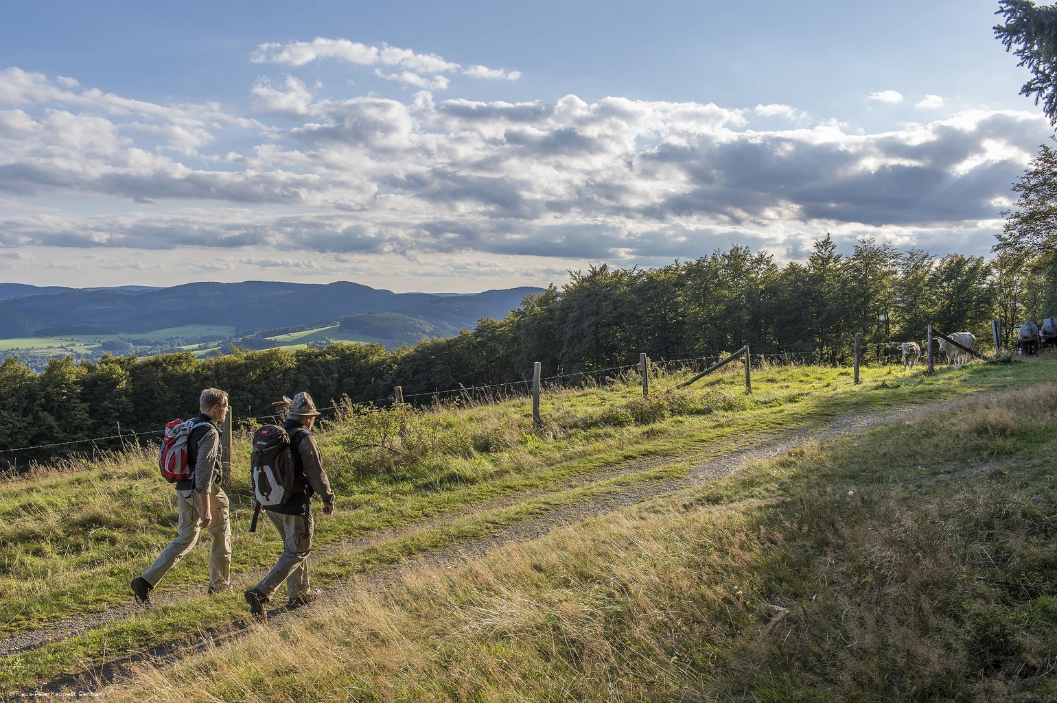
The Uplandsteig divides into a mountain and a valley variant at km 37.3. Unlike the mountain variant, the valley variant is not certified. The valley variant leads behind Welleringhausen through the Ohl to the district of Usseln and from there above the Diemel spring back to the mountain variant of the Uplandsteig.
Information
Directions
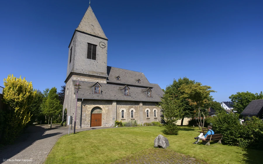
The mountain and valley variants of the Uplandsteig divide at km 37.3.If you continue straight ahead, you will reach Usseln after approx. 3.5 kilometers via the so-called valley variant through the Ohl. The mountain variant turns left and promises 28 kilometers of pure nature experience, with the next refreshment stop after 7 km at the "Graf Stolberg Hütte" (km 44.o) or after another 12 km at (km 55.8) in the "Niedersfelder Hochheidehütte". At km 44.6 (mountain variant), both variants meet again above the Diemel spring (km 44.4). You can of course also follow the mountain variant and then turn off to Usseln. (valley variant) km 37.3 to km 44.1 If you opt for the valley variant, you first walk on level ground through a meadow valley before reaching a small wooded area after approx. 1 km, which you walk through on the edge. You will soon see a solitary house on the left-hand side, the "Im Ohl" house. The path turns right here, takes you over the Neerdar and then immediately turns left again. You now walk 2 kilometers uphill through the valley towards Usseln. This path is surrounded by many bushes and offers welcome shade when the sun is shining. At the top, turn right, cross the railroad bridge and then immediately left again, down into the village. Here you will find a variety of hotels, guesthouses and restaurants where you can stop for a bite to eat or find accommodation for the night. We also recommend a visit to the Milch-Mu(h)seum, which you pass on the way. In the center of the village, the trail turns left and leads you up through the Diemeltal via Sportstraße. You will find the tourist information office (km 41.2) directly at the sports field, which will certainly be able to help you with any questions you may have, as well as a hiking sign. Continue between the tourist information office and the sports field, up the zig-zag path and along a narrow path towards Lohwald and along the Diemel. Cross the river to the right/left behind the last building and continue on the parallel "U 1" to km 44.1, where you meet the mountain variant (= km 44.6). From here, it is worth visiting the Diemel spring, which can be found just over 200 m below this detour on the mountain variant.Kilometers 44 to 50 (mountain variant)At the source of the Diemel, a refuge invites you to rest and have a picnic. Then return (200 m) and continue on the mountain variant of the Uplandsteig, thus passing the end point of the valley variant.
Equipment
We recommend sturdy shoes, clothing suitable for the weather, rucksack provisions and sufficient liquids (water, tea).
Author Tip
The Diemel spring invites you to relax and have a picnic.
Maps
Hiking map Willingen/Diemelsee & Trekking Park Sauerland, scale 1:25,000, mr-kartographie, Gotha, ISBN 978-3-86636-923-8
Public transit
Bus/train to Willingen or Usseln station, continue by bus or shared cab (AST) to Welleringhausen, bus stop Mitte
How to get there
By car via the B251 to Gasthof Ohlenbeck between Usseln and Neerdar, Welleringhausen junction.
Parking
Free parking at the fire station, Zum Sonnenberg 12, 34508 Willingen, Welleringhausen district


