- Refreshment stop
- Circular route
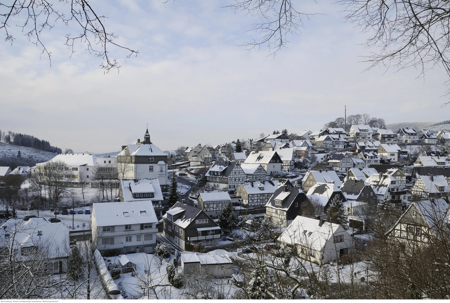
Winter hiking trail around Bad Fredeburg
Winter hiking trail from Bad Fredeburg to Hotel Kleins Wiese and past the Schützenkreuz back to the starting point.
Tour starting point:
Hiking board on the church square, Bad Fredeburg
Tour destination point:
Hiking board on the church square, Bad Fredeburg
Properties:
Additional Information
Refreshments available at Hotel Kleins Wiese.
Category
Winter hikingLength
6.4 kmDuration
1:51 hElevation ascent
194 mElevation descent
194 mLowest point
423 mHighest point
617 mCondition
Difficulty
Bad Fredeburg circular route - Hotel Kleins Wiese - Am Koppen - Bad Fredeburg
Information
Directions
Start your tour at the hiking board on the church square. Follow the BF 2 uphill in the direction of Rimberg, past the VdK Hotel to the Hotel Kleins Wiese. Just below the hotel, leave the BF2 and walk left to the country road (there is a bus stop opposite). Now walk along the country road for about 100 m and cross the road. From there, follow the hiking sign "Zugangsweg zum Sauerland-Höhenflug" (white H on a black background) to the Schützenkreuz.From there, continue straight ahead, following the detour of the Höhenflug and BF 4 in the direction of Bad Fredeburg. At the crossroads near the Altes Forsthaus, turn left and follow the BF4 downhill back to the church square.
Equipment
We recommend that you bring sturdy shoes and enough food and drink.
Safety guidelines
A rescue point system has been installed in the Hochsauerland district. Rescue points can be found on the information boards at junctions and on hiking signs.
Maps
Schmallenberg hiking map at a scale of 1:25,000 / Bad Fredeburg hiking map at a scale of 1:20,000
Parking
You will find a limited number of parking spaces around the church or above the tourist information office.
