- Circular route
Eslohe border crossers
The Eslohe Border Crosser is recommended as a five-day tour around Eslohe. The tour is a total of 68 km long and, as the name suggests, runs along the Eslohe municipal border.
Tour starting point:
Village of Schwartmecke
Tour destination point:
Village of Schwartmecke
Properties:
Category
regionaler WanderwegLength
68.5 kmDuration
19:00 hElevation ascent
1497 mElevation descent
1497 mLowest point
263 mHighest point
652 mCondition
Difficulty
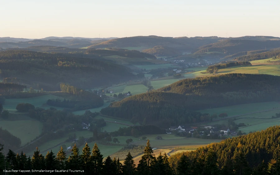
The Eslohe & Schmallenberg Sauerland vacation region is one of the most densely wooded areas in Germany. The Rothaargebirge and Homert offer everything to make hikers' hearts beat faster at climatically healthy altitudes of 350 to 818 meters. Ideal conditions for an active nature experience!
The wonderful 68 km circular trail, which stretches across the municipal boundaries of Eslohe and the neighboring towns of Schmallenberg, Meschede, Sundern and Lennestadt, offers great views and distant vistas.
Guess which town the church spire peeking out from behind the next mountain belongs to. And discover the small and large villages within the municipality from a completely different perspective. Along the way, you will find a wide variety of herbs, butterflies and other insects, and you will even be able to admire some of the now rare anthills. Or listen to the various bird calls that will accompany you on your way through deciduous and coniferous forests or past green meadows.
It's a great circular trail that offers even young hikers plenty of opportunities to try their hand at freely selectable route lengths - and if you change direction on some stages, it's not all uphill!
We recommend the Eslohe Grenzgänger in five stages ranging in length from 3.5 to 17.2 km, some of which start and finish points are easily accessible by public transport.
Information
Directions
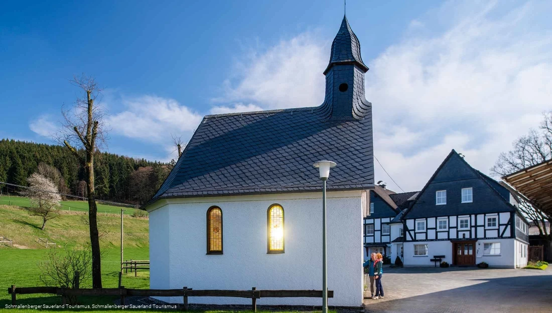
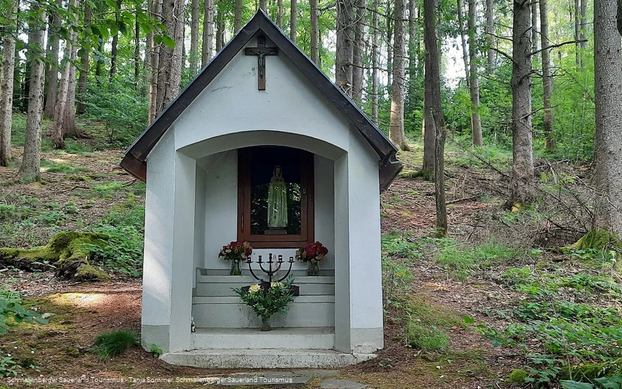
Stage 1 (17.2 km)Start at Schwartmecker Reithalle, which is located above Cobbenrode on the B 55, leaving Leckmart on your left and Oedingerberg on your right. After a short distance along the K 73, the route leads you to Herschede with magnificent views of the Lennestadt and Schmallenberg area. From Herschede, the route descends through a wooded area to the Landenbecker Bruch. Passing the small villages of Landenbeck and Hengsbeck on the left and Lochtrop on the right, you reach Frielinghausen via the Sange, where you come closest to the climatic health resort of Eslohe on your way across the border.Stage 2 (8.9 km)Cross the B 511 in Frielinghausen and walk a short distance to the right of the cycle path towards Bremke. Below the Kleiner Lumberg, you walk uphill to Beisinghausen and with a beautiful distant view past Reiste to Herhagen and through the Henne valley to Nichtinghausen.Stage 3 (15.2 km)Walk uphill in Nichtinghausen towards Erflinghausen, shortly before Erflinghausen the border crosser takes you left along a forest path towards Büenfeld. Cross Büenfeld and walk through fields and forest to the Oesterberge hiking parking lot. From there, walk uphill to Markshöhe (591 m), where you can stop for a rest in a refuge or, if the weather is good, watch brave paragliders take off. With great views, the trail continues downhill to the Wallenstein. There you turn left, past the Bergerhammer greywacke quarry, down into the valley along the Wenne to the Blessenohl estate.4th stage (4 km)From the Blessenohl estate, you walk slightly uphill to the Esmecke reservoir, which lies above the golden village of Wenholthausen. Linger at the beautiful little lake until the route climbs steeply towards Grevenstein.Stage 5 (8.4 km)In Grevenstein's eastern field, the border crosser turns towards the Homertgebirge mountains. Walk uphill through open fields in the direction of Estenberg (610 m). You will first come to the Homert refuge and then to the highest point of the Grenzgänger, the Homert mountain at 656 m (panoramic view board). Hike with the Sauerland-Höhenflug (SFH), which you now meet, to the Birkenbrauck hiking parking lot.Stage 6 (3.5 km)Walk from the Birkenbrauck hiking parking lot along the road through the forest to the Hoppen cross. From here, turn left downhill through the Buchwald forest to the road, which you follow past Obersalwey Castle into the village.Stage 7 (4.2 km)In Obersalwey, the Grenzgänger starts centrally in the village and takes you past the chapel and up through the Romketal valley to Fretterspring. Enjoy the wonderful views on the hiking trail above the Fledermaustunnel to Galle, where the road connects the two villages of Kückelheim and Serkenrode.Stage 8 (6.6 km)Your last stage takes you from the Galle, over the road steeply uphill with a wonderful view of the village of Dormecke and the Rothaargebirge mountains. You reach the Buchhagen hiking parking lot and pass the Marpequelle spring and the small village of Obermarpe on your way back to Schwartmecke.
Equipment
We recommend that you bring sturdy shoes and sufficient food and drink.
Safety guidelines
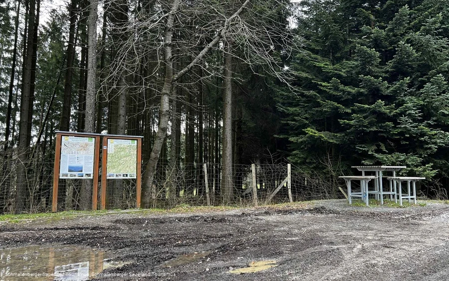
A rescue point system has been installed in the Hochsauerland district. Rescue points can be found on the information boards at junctions and on hiking signs.
Maps
Hiking map of the Eslohe vacation region, scale: 1 : 25,000
Parking
Use one of the many hiking parking lots.


