- Culturally interesting
- Circular route
Holthausen Gold Village Route
Tour starting point:
Schmallenberg-Holthausen, Schützenhalle
Tour destination point:
Schmallenberg-Holthausen, Schützenhalle
Properties:
Additional Information
Gastronomy along the Golddorf Route-Holthausen:
- Landgasthof Vollme König Hochstraße 1 Tel.: 0 29 74/321
- Landcafé Birkenhof Heustraße 19 Tel.: 0 29 74 / 24 9
You can find more restaurants, accommodation and activities in the Schmallenberg Sauerlandhere.
Category
regionaler WanderwegLength
14.3 kmDuration
4:15 hElevation ascent
325 mElevation descent
325 mLowest point
426 mHighest point
593 mCondition
Difficulty
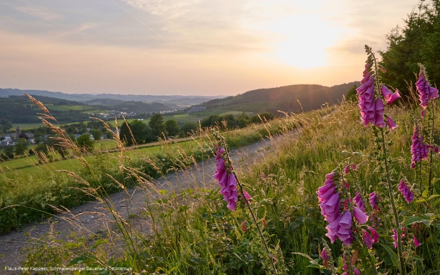
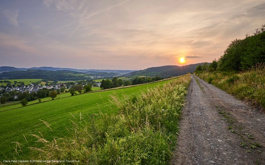
Fantastic views and charming half-timbered villages await hikers on the Golddorf route from Holthausen, which is marked with a golden G on a red background. The tour first leads along the well-kept 27-hole golf course of the Schmallenberg Golf Club in the direction of Niedersorpe. The next stage destination worth seeing is the small village of Huxel with its St. Elisabeth Chapel.
Further on, you reach the picturesque Kneipp spa town of Bad Fredeburg with its playful architecture. North Rhine-Westphalia's last active slate mine, the Magog mine, is also on the way to Bad Fredeburg: Forty miners still mine slate there today. Back in Holthausen, you can visit the Westfalen Slate Mining and Local History Museum.
Information
Equipment
Safety guidelines
Author Tip
The "Südwestfalen Gallery" and the Slate Mining and Local History Museum in Holthausen give you an impression of life and work in the Sauerland. more info
Maps
Hiking information "Golddorf routes in the Schmallenberg Sauerland"
Schmallenberg hiking map (scale 1:25,000)
Public transit
The Schwammklöpper line 474 runs in Holthausen.
For timetable information: www.rlg-online.de
With theSauerlandCard, you can travel free of charge by bus and train in the region.
How to get there
Coming from Schmallenberg, take the B236 to Gleidorf, where you turn left onto the B511 towards Bad Fredeburg/Eslohe. Before entering Bad Fredebrug, the road to Holthausen branches off to the right.
Address for arrival by navigation device: 57392 Schmallenberg-Holthausen, Schützenstraße 1
