- Culturally interesting
- Refreshment stop
- Circular route
Olsberg Mining Loop (Quality Tour Wanderbares Deutschland)
As a former mining region, Brilon and Olsberg attract history buffs to the Gewerkenweg.
The Olsberg Mining Loop is one of the most interesting sections of the Gewerkenweg.
Tour starting point:
Hikers' parking lot Langer Berg on the B 480 between Olsberg and Brilon-Altenbüren
Tour destination point:
Hikers' parking lot Langer Berg on the B 480 between Olsberg and Brilon-Altenbüren
Properties:
Additional Information
www.olsberg-touristik.dewww.tourismus-brilon-olsberg.dewww.heimatbund-olsberg.deCategory
regionaler WanderwegLength
6.8 kmDuration
2:00 hElevation ascent
245 mElevation descent
245 mLowest point
458 mHighest point
572 mCondition
Difficulty
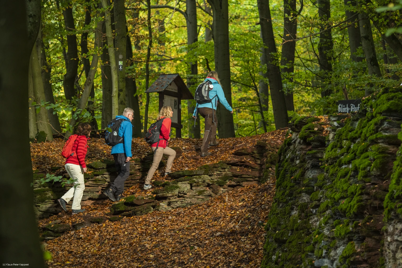
A good 100 years ago, many miners were still working on the Eisenberg. They extracted iron ore from the Philippstollen, the Maxstollen and the "Altem Stollen". The miners then loaded the material onto ramps and horse-drawn carts, turning the access roads to the town center a rusty red.
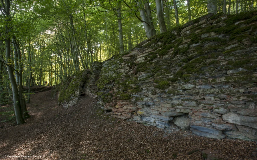
Many relics of the"Iron Age" can still be admired today on the beech-covered Eisenberg. The Phillippstollen can even be visited (May-October, Fri. 16.00). You can find out more about this at Olsberg Touristik and register if necessary.
Get a taste of Olsberg's history on this themed tour. Information boards along the way provide further exciting details.
Information
Directions
The route starts at the so-called "gateway to the Waldroute", the large parking lot on the Langer Berg.When approaching by car, please note that turning off from Olsberg is not permitted.You would first have to drive into the right-hand parking bay of the bus stop and watch out for oncoming traffic coming from Brilon.Some information boards at the rest area provide interesting information about hiking in Olsberg.The tour now starts by first crossing the district road.You can follow the signs K for Kneipp Trail as well as the "W" for Waldroute. These two Wanderbares Deutschland quality trails run along the same section of the route.After approx. 2 km downhill, you have a beautiful view of the Kneipp spa town of Olsberg. You can also see the Waldhotel zumSchinkenwirt in front of you. A refreshment stop is recommended.Just above the Waldhotel there are very interesting information boards on the history of mining in Olsberg. Turn left here.A detour to the Maxstollen is a special experience.The Olsberg local history association has equipped this disused gallery with information boards and benches to create a resting place.The old excavations with the well-preserved remains of the walls show the old mining history in a special way.The fresh spring can also be used to quench your thirst.The route continues past the old wall remains, down the secured forest steps onto the wonderful, natural path.This also leads along the Kneipp Trail and the Waldroute over a scenic route with a view of Olsberg to Forstenberg.Follow the signs there.Then turn left. The G sign (for Gewerkenweg) applies hereThe hiking trail now leads past the Schäferkreuz. Note the turn-off here via a natural trail up into the pine grove.This trail leads to the signposted Pingenfelder. Afterwards, there is a special viewpoint with a Rothaarsteig lounger .Continue past the previous turn-off, back uphill to the parking lot.* Pingenfeld*The "Old Adit"* Philippstollen* Eisenberg viewpoint*Shepherd's cross
Equipment
* sturdy shoes
* light hiking equipment
Safety guidelines
* Sturdy footwear is recommended.
* Care should be taken not to walk too close to the slopes in the Pingen fields. Please follow the signs
Author Tip
* Visit the Philippstollen. In the period from May to October with prior registration at Touristik Olsberg at :
www.tourismus-brilon-olsberg.de
* A flyer of the Gewerkenweg Olsberg-Brilon offers a lot of information about the mining history in Olsberg.
Maps
Public transit
Olsberg railroad station ( Hagen-Kassel)
Brilon train station ( DB Brilon-Wald stop)
Bigge train station ( Dortmund-Winterberg)
Bus: S30 Brilon-Olsberg-Brilon
Bus stop directly at the hiking parking lot on the Langer Berg
How to get there
Click on the map on the left to enlarge it or use the route planner
Parking
Large parking lot, free of charge. Please note the prescribed direction of travel.
Coming from Olsberg, you must first turn right onto the bus stop. Beware of traffic coming from Altenbüren.

