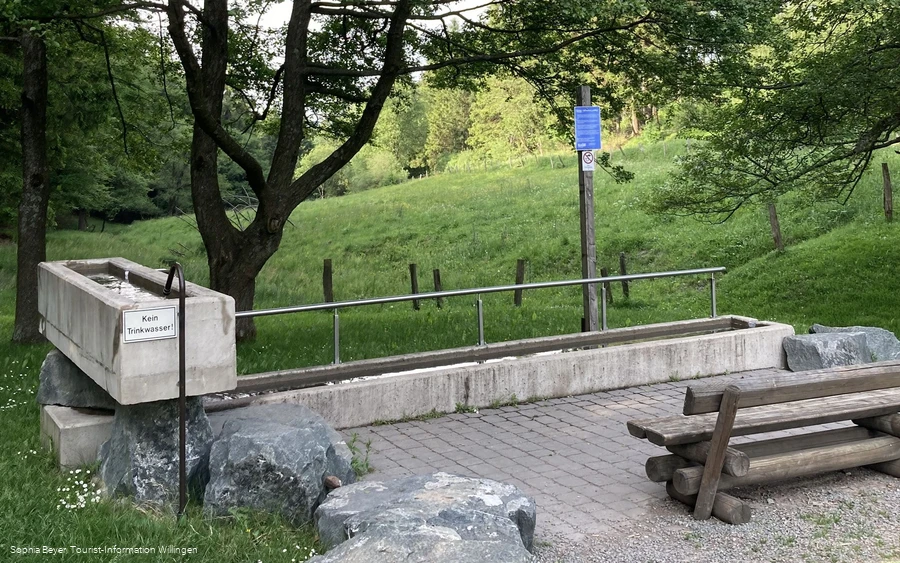
- Refreshment stop
- Circular route
- Signage
Willingen-Usseln (U1)
Strycktal circular route
Tour starting point:
Usseln hiking parking lot, Sportstraße 7 (near the tourist information office), 34508 Willingen, Usseln district
Tour destination point:
Usseln hiking parking lot, Sportstraße 7 (near the tourist information office), 34508 Willingen, Usseln district
Properties:
Additional Information
Category
regionaler WanderwegLength
11.7 kmDuration
3:11 hElevation ascent
246 mElevation descent
198 mLowest point
583 mHighest point
713 mCondition
Difficulty
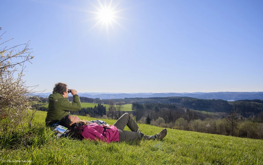
A beautiful circular route with a number of sights and beautiful views, such as the proverbial "Schöne Aussicht". The Diemel spring and the Graf Stolberg Hütte invite you to take a break and stop for refreshments. The EWF biathlon facility and the Mühlenkopfschanze are two impressive sports facilities along the way.
Information
Directions
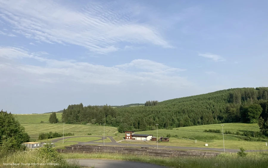
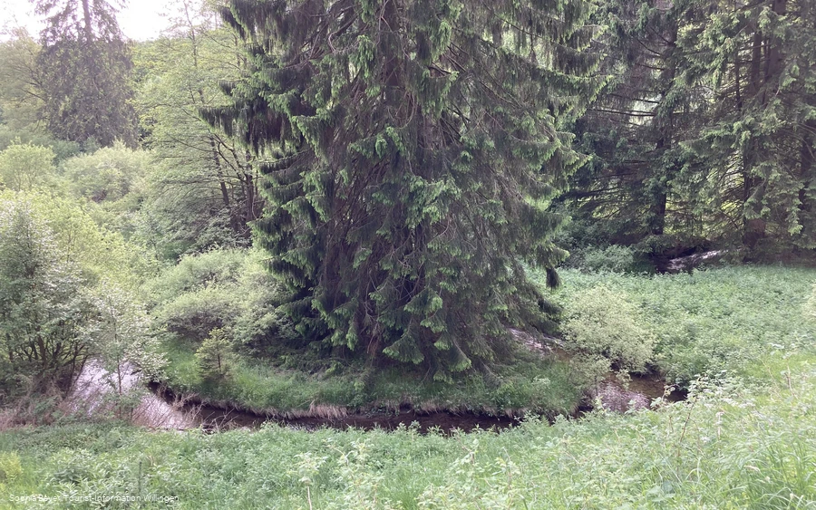
From the start at the Uplandsteig hiking board in Usseln, the U1 begins on the same route as the Uplandsteig (valley variant). First pass between the sports field and the tourist information office and up the zig-zag path. Now on a slope through the Lohwald forest and along the Diemel, which is crossed at around km 43.0 (of the valley variant). At the top on the northern side, leave the Uplandsteig to the right, then turn left past the Emmet weekend house area and biathlon stadium (Westfalen Olympic base!) until shortly before the main road 251. Turn left here and descend partly on a narrow path to the district of Stryck. In the valley along the Itter stream to the Mühlenkopfschanze (largest large ski jump in the world). Then leave the valley upwards and around the Hohe Pön. Once at the top, walk along the Hessen/North Rhine-Westphalia border, where you can enjoy magnificent views as far as the Eder mountains from the "Schöne Aussicht" refuge. Continue along the Uplandsteig again until the next major crossroads at Hohe Pön/Auf`m Knoll. At this point, turn right and continue along the edge of the forest to a small parking lot, where you first turn left, but continue on the hiking trail (no cars allowed) and along the state border to the "Graf Stolberg Hütte". To stop for refreshments or not? Behind the hut, turn left down to the valley and the bubbling Diemel spring, which was redesigned in 2016. After a possible rest, pass the refuge and walk 200 m uphill. At the top, turn right and continue along the Uplandsteig - valley variant - to around km 43.0. This is where the U1 ends.To your destination in Usseln, either continue straight ahead and directly into the village or - as on the outward route - via the route of the Uplandsteig and along the Diemel back to the tourist information office or hiking board.
Equipment
We recommend sturdy shoes, clothing suitable for the weather, rucksack provisions and sufficient liquids (water, tea).
Maps
Hiking map Willingen/Diemelsee & Trekking Park Sauerland, scale 1:25,000, mr-kartographie, Gotha, ISBN 978-3-86636-923-8
Public transit
Bus/train to Usseln station, continue by bus (bus stop Usseln Mitte) or shared cab (bus stop Usseln Mitte or Sportstraße/Viadukt)
How to get there
By car via the B251 to Willingen (Upland) - Usseln, in the center of the village turn into Sportstraße
Parking
Free parking in the Sportstraße, near Tourist-Information Usseln, Sportstr. 7, 34508 Willingen (Upland)
